Greens Beach, Tasmania
| Greens Beach Tasmania | |||||||||||||||
|---|---|---|---|---|---|---|---|---|---|---|---|---|---|---|---|
 Greens Beach | |||||||||||||||
| Coordinates | 41°05′06″S 146°44′25″E / 41.0850°S 146.7403°E | ||||||||||||||
| Population | 209 (2016 census)[1] | ||||||||||||||
| Postcode(s) | 7270 | ||||||||||||||
| Location | 61 km (38 mi) NW of Launceston | ||||||||||||||
| LGA(s) | West Tamar | ||||||||||||||
| Region | Western Tamar Valley | ||||||||||||||
| State electorate(s) | Bass | ||||||||||||||
| Federal division(s) | Bass | ||||||||||||||
| |||||||||||||||
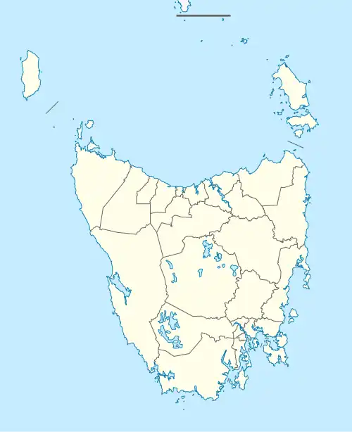
Greens Beach is a locality and small rural community in the local government area of West Tamar, in the Western Tamar Valley region of Tasmania. It is located about 61 kilometres (38 mi) north-west of the town of Launceston. Bass Strait forms the northern boundary.[2] The 2016 census determined a population of 209 for the state suburb of Greens Beach.[1]
History
The locality was gazetted in 1967.[3]
Road infrastructure
The West Tamar Highway runs north-west through the locality, terminating in the Greens Beach township.[4]
References
- ^ a b "2016 Census Quick Stats Greens Beach (Tas.)". quickstats.censusdata.abs.gov.au. Australian Bureau of Statistics. 23 October 2017. Retrieved 20 December 2018.
- ^ "Greens Beach, Tasmania" (Map). Google Maps. Retrieved 20 December 2018.
- ^ "Placenames Tasmania - Greens Beach". Placenames Tasmania. Search, enter 1024D, Search, select row, show Details. Retrieved 20 December 2018.
- ^ "Tasmanian Road Route Codes" (PDF). Department of Primary Industries, Parks, Water & Environment. May 2017. Archived from the original (PDF) on 1 August 2017. Retrieved 20 December 2018.