Großkorbetha
Großkorbetha | |
|---|---|
Location of Großkorbetha | |
 Großkorbetha 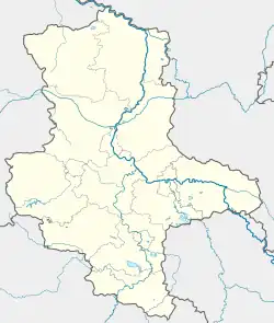 Großkorbetha | |
| Coordinates: 51°15′36″N 12°1′52″E / 51.26000°N 12.03111°E | |
| Country | Germany |
| State | Saxony-Anhalt |
| District | Burgenlandkreis |
| Town | Weißenfels |
| Area | |
• Total | 12.68 km2 (4.90 sq mi) |
| Elevation | 108 m (354 ft) |
| Population (2009-12-31) | |
• Total | 1,923 |
| • Density | 150/km2 (390/sq mi) |
| Time zone | UTC+01:00 (CET) |
| • Summer (DST) | UTC+02:00 (CEST) |
| Postal codes | 06688 |
| Dialling codes | 034446 |
| Vehicle registration | WSF |
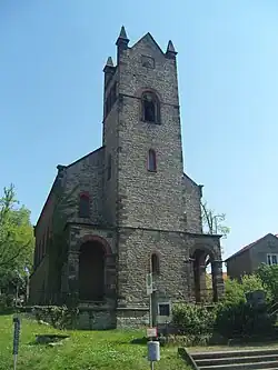
Großkorbetha is a village and a former municipality in the Burgenlandkreis district, in Saxony-Anhalt, Germany. Since 1 September 2010, it is part of the town Weißenfels.[1]
Historical Population
Like many urban centres in the former East Germany, the population has declined since the Reunification of Germany.
Development of population (as of December 31 from 1995 on):
| Year | Inhabitants |
|---|---|
| 1840 | 581 |
| 1931 | 1,798 |
| 1990 | 2,358 * |
| 1995 | 2,235 |
| 2000 | 2,204 |
| 2005 | 2,031 |
| 2006 | 2,008 |
| 2007 | 1,965 |
* 3 October (census)
References
- ^ "Gebietsänderungen vom 01. Januar bis 31. Dezember 2010" (in German). Federal Statistical Office of Germany. Retrieved 4 November 2024.