Groundhouse River
| Groundhouse River | |
|---|---|
 Mouth of the Groundhouse River | |
| Location | |
| Country | United States |
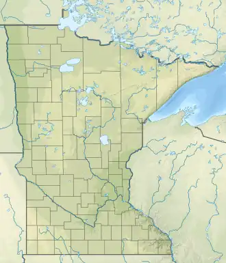
| State | Minnesota |
| Counties | Kanabec, Mille Lacs |
| Physical characteristics | |
| Source | |
| • coordinates | 45°58′31″N 93°34′03″W / 45.9752372°N 93.5674621°W |
| Mouth | |
• coordinates | 45°48′39″N 93°15′44″W / 45.8107936°N 93.2621676°W |
| Length | 39.8 mi-long (64.1 km) |
| Basin features | |
| Progression | Groundhouse River→ Snake River→ St. Croix River→ Mississippi River→ Gulf of Mexico |
| River system | Snake River |
The Groundhouse River is a 39.8-mile-long (64.1 km)[1] tributary of the Snake River in eastern Minnesota. Via the Snake River and St. Croix River, it is part of the Mississippi River watershed flowing to the Gulf of Mexico.[2]
See also
External links
- Minnesota Watersheds
- USGS Hydrologic Unit Map - State of Minnesota (1974)
References
- ^ U.S. Geological Survey. National Hydrography Dataset high-resolution flowline data. The National Map Archived 2012-03-29 at the Wayback Machine, accessed October 5, 2012
- ^ U.S. Geological Survey Geographic Names Information System: Groundhouse River