Guatay, California
Guatay | |
|---|---|
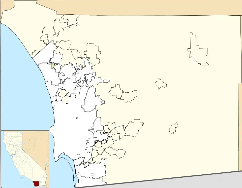 Guatay Location within San Diego County 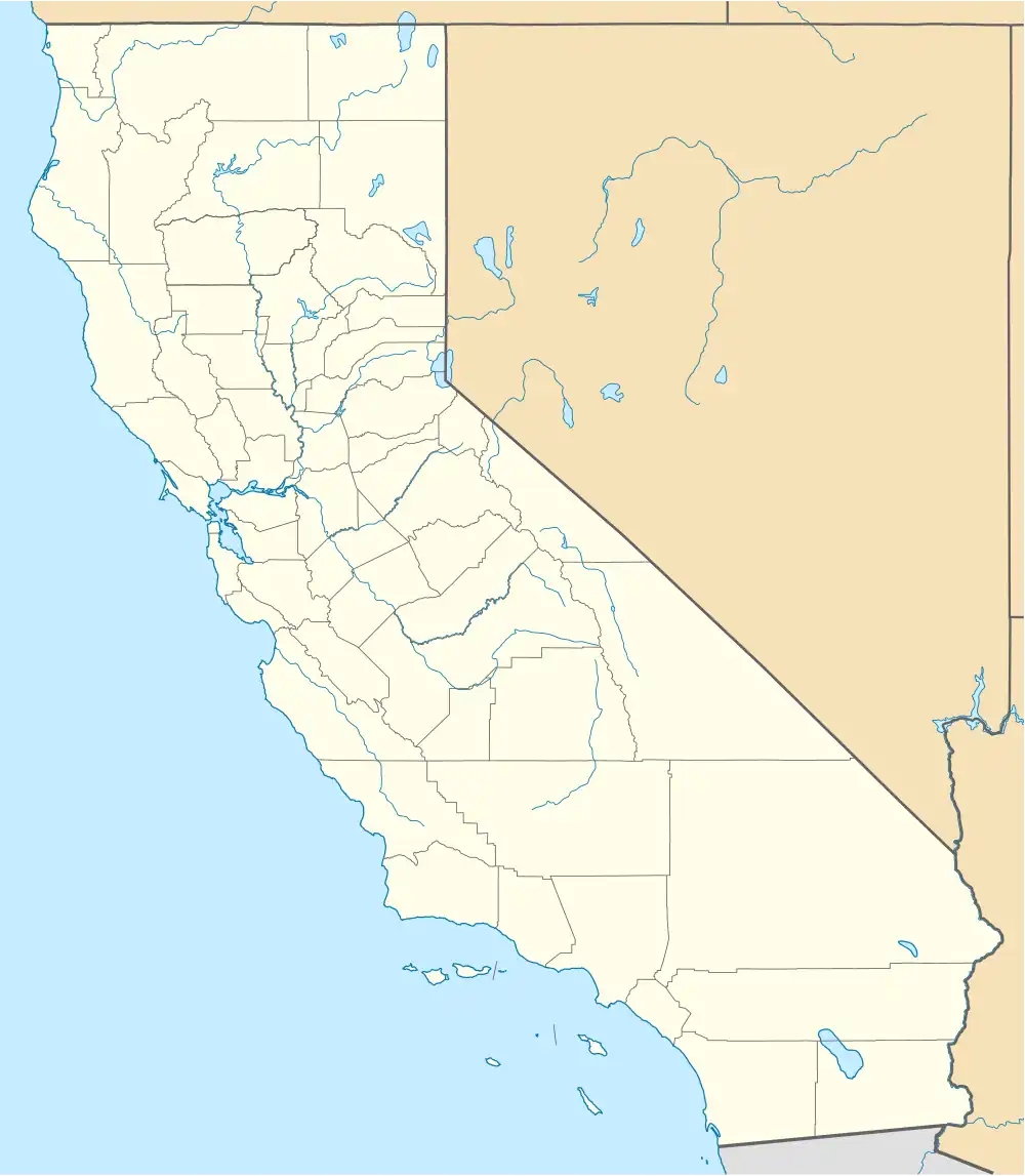 Guatay Location within California  Guatay Location within the United States | |
| Coordinates: 32°50′56″N 116°33′26″W / 32.84889°N 116.55722°W | |
| Country | |
| State | |
| County | |
| Elevation | 3,999 ft (1,219 m) |
| Time zone | UTC-8 (Pacific (PST)) |
| • Summer (DST) | UTC-7 (PDT) |
| ZIP codes | 91931 |
| GNIS feature ID | 1656536[1] |
Guatay (Kumeyaay: Na-wa Ti'e, meaning "Big House")[2][3] is an unincorporated community in the Cuyamaca Mountains, in the Mountain Empire area of southeastern San Diego County, California.
Geography
The town's elevation is 3,999 feet (1,219 m).[1] Although Guatay is unincorporated, it does not have a post office. The ZIP Code is 91931.[4]
It was the location of a 19th-century stagecoach station on the San Antonio-San Diego Mail Line.
Nearby Guatay Mountain, a peak of the Cuyamaca Mountains, is home to a grove of the rare endemic Tecate Cypress (Cupressus forbesii).
Transportation
San Diego MTS route 888 provides service on Mondays and Fridays between El Cajon, Guatay, and Jacumba Hot Springs.[5]
References
- ^ a b "Guatay, California". Geographic Names Information System. United States Geological Survey, United States Department of the Interior.
- ^ Kumeyaay - Mount Guatay or Na-wa Ti'e
- ^ California Place Names of Indian Origin (Kroeber, 1916)
- ^ Zip Code Lookup
- ^ https://www.sdmts.com/sites/default/files/routes/pdf/888.pdf
