Gularbhoj
Gularbhoj | |
|---|---|
Town | |
 Gularbhoj Dam in Kumaon | |
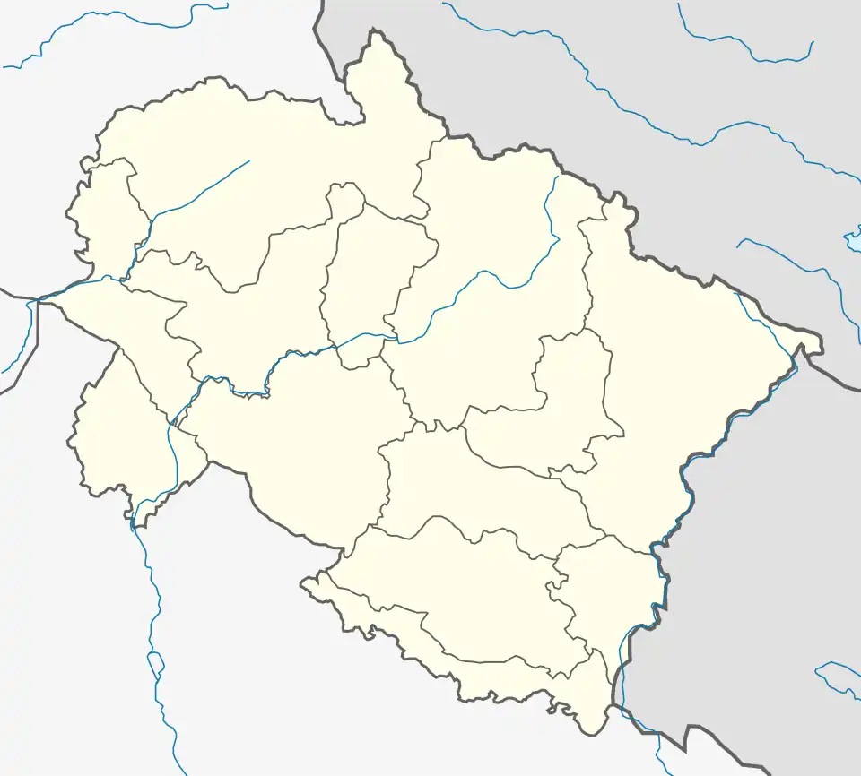
 Gularbhoj Location in Uttarakhand, India  Gularbhoj Gularbhoj (India) | |
| Coordinates: 29°05′30″N 79°18′56″E / 29.0918°N 79.3156°E | |
| Country | |
| State | Uttarakhand |
| District | Udham Singh Nagar |
| Government | |
| • Body | Nagar Panchayat |
| Elevation | 234 m (768 ft) |
| Population (2011) | 794 |
| Languages | |
| • Official | Hindi |
| Time zone | UTC+5:30 (IST) |
| Vehicle registration | UK |
| Website | uk |
Gularbhoj is a town, a nagar panchayat in Udham Singh Nagar district in the Indian state of Uttarakhand. It is known for its Gularbhoj dam.[1]
Description
In Gularbhoj, the Gularbhoj Dam or Haripura Dam is used for irrigation.[2]
As of 2021 India census,[3] Gularbhoj had a population of 794. Males constitute 50.25% of the population and females 49.75%. Dineshpur has an average literacy rate of 75.52%, higher than the national average of 59.5%: male literacy is 85% and, female literacy about 66%. In Dineshpur, 14.6% of the population is under 6 years of age.
References
- ^ "Gularbhoj Dam in Kumaon – Haripura Dam, Gularbhoj Travel Guide Location". euttaranchal.com.
- ^ "'US Nagar News : गूलरभोज डैम बना पर्यटकों के आकर्षण का केंद्र, अक्टूबर में लगता है विदेशी पक्षियों का मेला". News18 हिंदी. 3 May 2023.
- ^ "Census of India 2001: Data from the 2011 Census, including cities, villages and towns (Provisional)". Census Commission of India. Archived from the original on 16 June 2004. Retrieved 1 November 2008.