Gumlapur
Gumlapur
Gumlapoor | |
|---|---|
Village | |
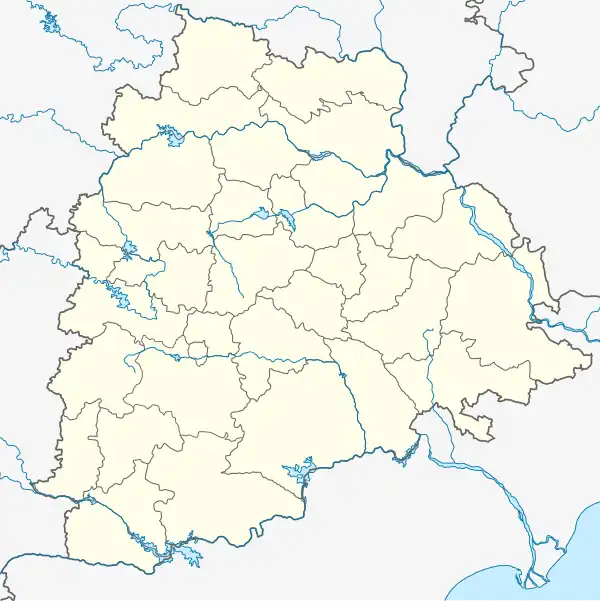 Gumlapur Location in Telangana, India  Gumlapur Gumlapur (India) | |
| Coordinates: 18°48′11″N 78°45′30″E / 18.803173°N 78.758264°E | |
| Country | |
| State | Telangana |
| Mandal | Korutla |
| District | Jagtial |
| Region | Telangana |
| Government | |
| • Type | Grama Panchayath |
| • Body | Yadagiri Ammai(Sarpanch) Tota Narayana(MPTC) |
| Elevation | 308 m (1,010 ft) |
| Population (2009) | |
• Total | 1,600 |
| Languages | |
| • Official | Telugu |
| Time zone | UTC+5:30 (IST) |
| Area code | 91-(0)8722 |
| Vehicle registration | AP 15 |
| Climate | BW (Köppen) |
Gumlapur (also Gumlapoor or Gummulapuram) is a village in the Korutla Mandal Jagtial district of the Indian state of Telangana, in the Deccan Plateau in the north part of Telangana.[1]
References
- ^ "Gumlapur Population - Karimnagar, Andhra Pradesh". census2011.co.in. Census Organization of India. 2025. Retrieved 17 April 2025.