Gustine Lake
| Gustine Lake | |
|---|---|
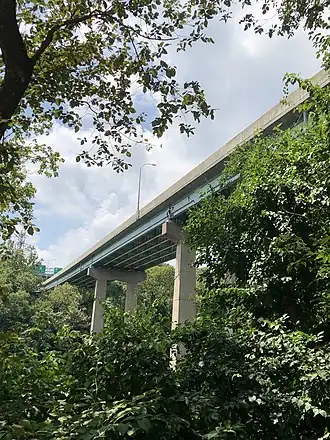 The City Avenue Bridges roughly goes over the area that was once Gustine Lake | |
 Gustine Lake  Gustine Lake  Gustine Lake | |
| Location | Lower Northwest, Philadelphia, Pennsylvania |
| Coordinates | 40°00′49″N 75°12′17″W / 40.01372°N 75.20460°W |
| Type | Former lake |
| Basin countries | United States |
| Surface elevation | 36 feet (11 m) |
| Settlements | East Falls, Philadelphia |
| References | U.S. Geological Survey Geographic Names Information System: Gustine Lake |
| Location | |
Gustine Lake was a small, man-made lake located in the East Falls section of Northwest Philadelphia. Today, it is the site of the Gustine Lake Interchange, located between Kelly Drive and U.S. Route 1.[1] As late as 1954, this lake was part of the Wissahickon Valley Park.[2][3]
References
- ^ "Gustine Lake Interchange Improvement Map" (PDF). Pennsylvania Department of Transportation (FTP). Cartography by Michael Baker Jr. Inc. Retrieved June 16, 2012.
{{cite web}}: CS1 maint: others (link) (To view documents see Help:FTP) - ^ Staff. "Evolving Forms of Park Recreation". Fairmount Park. Philadelphia Parks & Recreation. Archived from the original on October 27, 2006. Retrieved June 16, 2012.
- ^ "1911 PHILADELPHIA PA FAIRMOUNT PARK GUSTINE LAKE RIVERSIDE MANSION ATLAS MAP". Retrieved February 3, 2024.