Guttau
Guttau Hućina | |
|---|---|
 Coat of arms | |
Location of Guttau Hućina | |
 Guttau Hućina 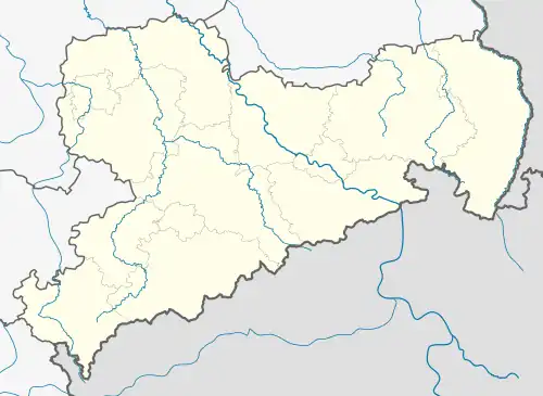 Guttau Hućina | |
| Coordinates: 51°15′N 14°34′E / 51.250°N 14.567°E | |
| Country | Germany |
| State | Saxony |
| District | Bautzen |
| Municipality | Malschwitz |
| Area | |
• Total | 41.66 km2 (16.09 sq mi) |
| Elevation | 146 m (479 ft) |
| Population (2011-12-31) | |
• Total | 1,581 |
| • Density | 38/km2 (98/sq mi) |
| Time zone | UTC+01:00 (CET) |
| • Summer (DST) | UTC+02:00 (CEST) |
| Postal codes | 02694 |
| Dialling codes | 035932 |
| Vehicle registration | BZ |
| Website | www.gemeinde-guttau.de |

Guttau (German) or Hućina (Upper Sorbian) is a village in the east of Saxony, Germany. It is part of the municipality of Malschwitz in the district of Bautzen, and lies northeast of the town of Bautzen/Budyšin. The village is part of the bilingual Sorbian settlement area.
It is situated in the Upper Lusatian plain, south of the so-called Lusatian Lake District.
Guttau/Hućina was previously a municipality consisting of nine villages, from 1996 to 2012. That municipality was merged into Malschwitz/Malešecy on 1 January 2013.[1]
Former municipality
From 1996 to 2012, Guttau/Hućina was the name of a municipality (Gemeinde/Gmejny), with nine villages included. Their names are listed below in German and Upper Sorbian.
- Brösa/Brězyna
- Guttau/Hućina
- Halbendorf/Spree / Połpica
- Kleinsaubernitz/Zubornička
- Lieske/Lěskej
- Lömischau/Lemišow
- Neudorf/Spree / Nowa Wjes/Sprjewja
- Ruhethal/Wotpočink
- Wartha/Stróža
Together, the areas of Guttau and Malschwitz formed the Verwaltungsgemeinschaft Malschwitz until they merged as one municipality, named Malschwitz/Malešecy, from 2013 onwards.
References
- ^ "Gemeinde Malschwitz/Gmejny Malešecy" (PDF). Total-Lokal. Archived (PDF) from the original on 5 August 2016. Retrieved 13 June 2024.
External links
![]() Media related to Guttau/Hućina at Wikimedia Commons
Media related to Guttau/Hućina at Wikimedia Commons