Hailakandi
Hailakandi Town | |
|---|---|
Town | |
| Hailakandi Municipal Board | |
 Hailakandi Town | |
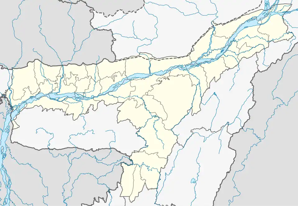 Hailakandi Town Location in Assam, India  Hailakandi Town Hailakandi Town (India) | |
| Coordinates: 24°41′N 92°34′E / 24.68°N 92.57°E | |
| Country | |
| State | Assam |
| District | Hailakandi |
| District created | 1 October 1989 |
| Government | |
| • Body | Hailakandi Municipality Board |
| Area | |
• Total | 1,327 km2 (512 sq mi) |
| Elevation | 21 m (69 ft) |
| Population | |
• Total | 33,637(census of 2,011) |
| • Density | 497/km2 (1,290/sq mi) |
| Languages | |
| • Official | Bengali and Meitei (Manipuri) |
| Time zone | UTC+5:30 (IST) |
| PIN | 788155 |
| Telephone code | 91 - (0) 03844 |
| Vehicle registration | AS-24 |
| Website | hailakandi |
Hailakandi (pron:ˈhaɪləˌkʌndi) is a town and the district headquarters of Hailakandi district in the Indian state of Assam. Hailakandi is located at 24°41′N 92°34′E / 24.68°N 92.57°E.[2]
Demography
Bengali and Meitei (Manipuri) are the official languages of this place.[3][4]
Religions in Hailakandi Town (2011)[1]
- Hinduism (67.3%)
- Islam (31.8%)
- Christianity (0.23%)
- Others (0.74%)
According to the 2011 census, Hailakandi had a population of 33,637. Most of the people in the town follow Hinduism, with significant followers of Islam and a small Christian population.[1]
Educational institutions
Nearby villages
- Rongpur II
- Boalipar III
- Boalipar Bazar
See also
References
- ^ a b c "C-1 Population By Religious Community". census.gov.in. Retrieved 14 November 2020.
- ^ Falling Rain Genomics, Inc - Hailakandi
- ^ "Govt withdraws Assamese as official language from Barak valley". Business Standard India. Press Trust of India. 9 September 2014. Archived from the original on 29 January 2018. Retrieved 29 January 2018.
- ^ Purkayastha, Biswa Kalyan (24 February 2024). "Assam recognises Manipuri as associate official language in four districts". Hindustan Times. Retrieved 26 February 2024.