Halsa, Trøndelag
Halsa
Halsanausta | |
|---|---|
Village | |
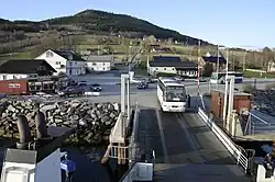 View of Halsa, near the ferry | |
 Halsa 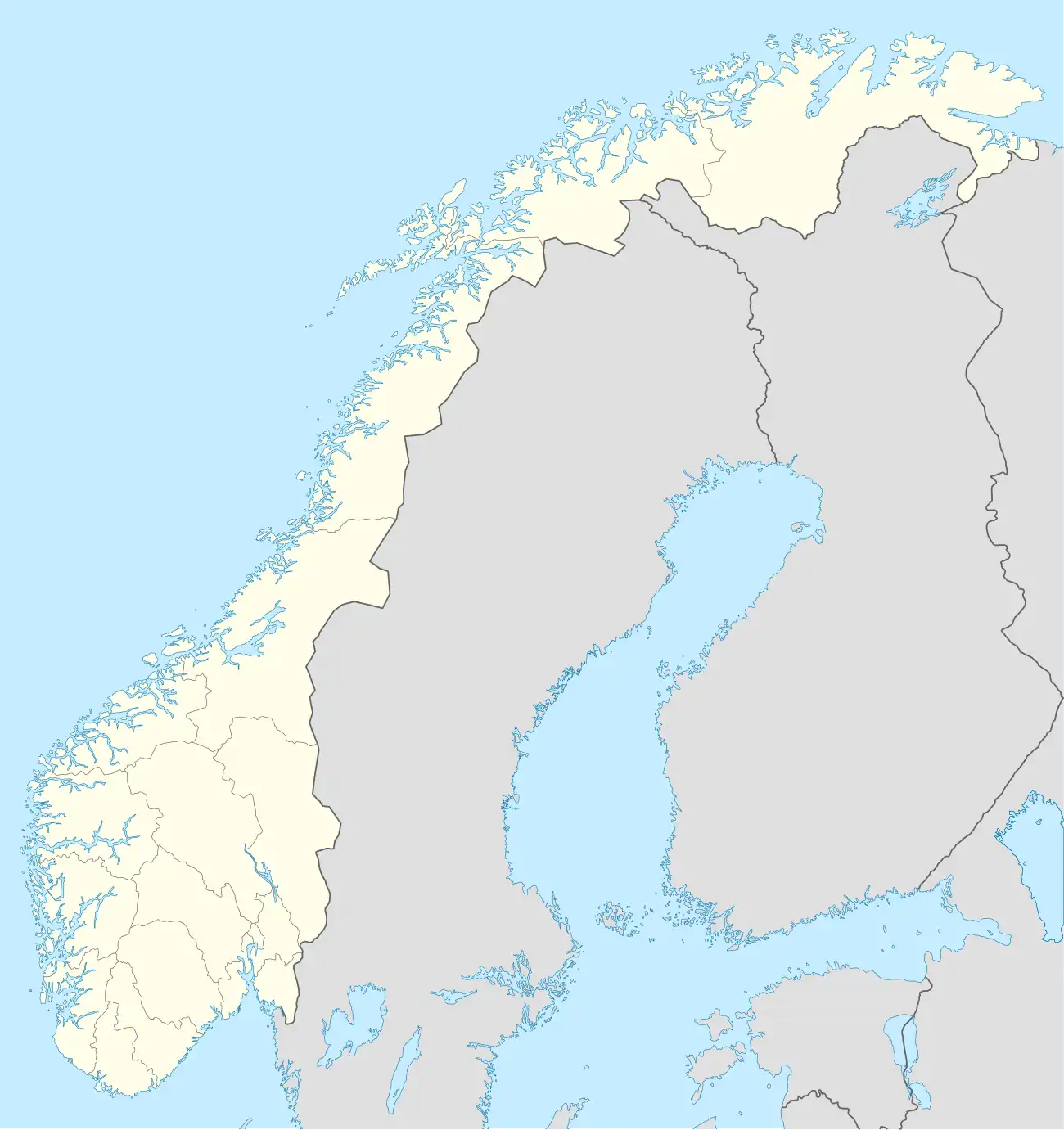 Halsa | |
| Coordinates: 63°04′19″N 8°15′03″E / 63.07182°N 8.25092°E | |
| Country | Norway |
| Region | Western Norway |
| County | Trøndelag |
| Municipality | Heim Municipality |
| Elevation | 47 m (154 ft) |
| Time zone | UTC+01:00 (CET) |
| • Summer (DST) | UTC+02:00 (CEST) |
| Post Code | 6680 Halsanaustan |
Halsa[2] or Halsanausta[3] is a village in Heim Municipality in Trøndelag county, Norway. The village is located along European route E39 at the junction of County Road 350 on an isthmus of a small peninsula between the Halsafjorden and Skålvikfjorden, about 10 kilometres (6.2 mi) southwest of the village of Liabøen. Halsa Church is located in this village.
A ferry runs from Halsanausta to the village of Kanestraum in Tingvoll Municipality, across the Halsafjorden.
References
- ^ "Halsa" (in Norwegian). yr.no. Retrieved 10 December 2010.
- ^ "Informasjon om stadnamn: Halsa". Norgeskart (in Norwegian). Kartverket. Retrieved 20 January 2025.
- ^ "Informasjon om stadnamn: Halsanausta". Norgeskart (in Norwegian). Kartverket. Retrieved 20 January 2025.