Hamarjung
Hamarjung
हमरजुङ | |
|---|---|
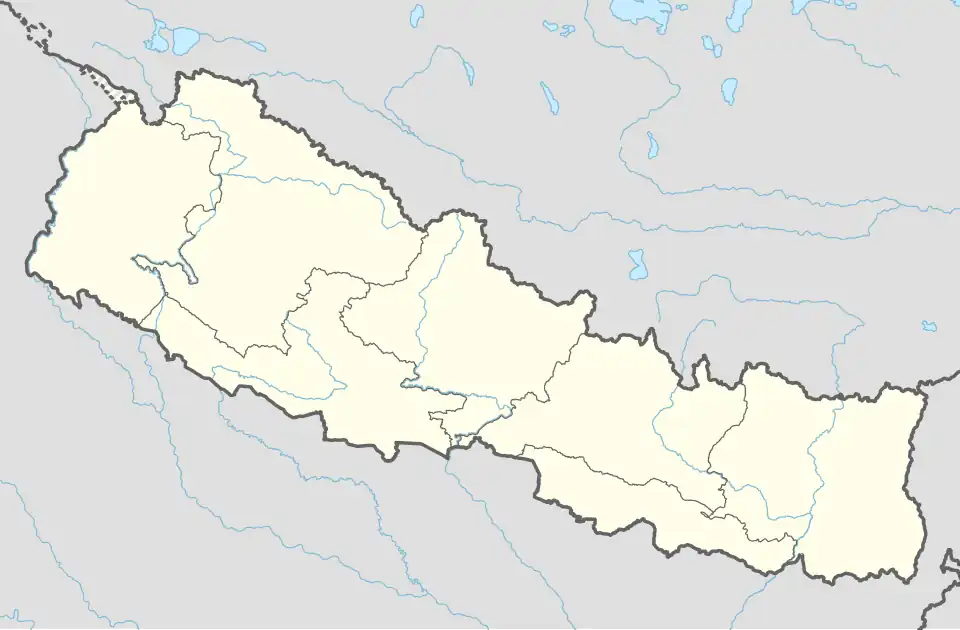 Hamarjung Location in Nepal | |
| Coordinates: 27°02′N 87°27′E / 27.04°N 87.45°E | |
| Country | |
| Zone | Kosi Zone |
| District | Terhathum District |
| Population (1991) | |
• Total | 2,956 |
| Time zone | UTC+5:45 (Nepal Time) |
| Postal code | 57106 |
| Area code | 026 |
Hamarjung is a village development committee in the Himalayas of Terhathum District in the Kosi Zone of eastern Nepal. As of the 2021 Nepal census, Hamarjung has a population of 2176, spread throughout 498 households. [1]
References
External links
Headquarters: Myanglung Municipality | ||
| Rural municipalities | 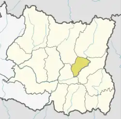 | |
| Municipalities | ||