Hanrgram
Hanrgram | |
|---|---|
Village | |
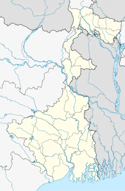 Hanrgram Location in West Bengal, India  Hanrgram Hanrgram (India) | |
| Coordinates: 23°23′03.7″N 87°57′06.2″E / 23.384361°N 87.951722°E | |
| Country | |
| State | West Bengal |
| District | Purba Bardhaman |
| Area | |
• Total | 5.5574 km2 (2.1457 sq mi) |
| • Rank | 5,301 |
| Languages | |
| • Official | Bengali, English |
| Time zone | UTC+5:30 (IST) |
| PIN | 713125 |
| Telephone/STD code | 0342 |
| Lok Sabha constituency | Bardhaman-Durgapur |
| Vidhan Sabha constituency | Bhatar |
| Website | purbabardhaman |
Hanrgram is a village in Bhatar community development block in Bardhaman Sadar North subdivision of Purba Bardhaman district in the state of West Bengal, India.[1]
Population
As of 2011, Scheduled Castes and Scheduled Tribes constituted over a quarter of the population, with Scheduled Castes 22.30% of the population and Scheduled Tribes 5.21% of the total population.[2][3]
| Particulars | Total | Male | Female |
|---|---|---|---|
| Total no. of houses | 1,221 | - | - |
| Population | 5,301 | 2,687 | 2,614 |
| Child (0–6) | 608 | 311 | 297 |
| Schedule Caste | 1,182 | 591 | 591 |
| Schedule Tribe | 276 | 146 | 130 |
References
- ^ District Census Handbook. 1985. p. 103.
- ^ "2011 Census – Primary Census Abstract Data Tables". West Bengal – District-wise. Registrar General and Census Commissioner, India. Retrieved 26 February 2017.
- ^ "District Statistical Handbook 2014 Bardhaman". Table 2.2. Department of Statistics and Programme Implementation, Government of West Bengal. Archived from the original on 21 January 2019. Retrieved 25 January 2019.
Cities, towns and locations in Purba Bardhaman district, Burdwan division | ||||||||||
|---|---|---|---|---|---|---|---|---|---|---|
| Cities, municipal and census towns |
|  | ||||||||
| Locations other than cities and towns |
| |||||||||
| Related topics |
| |||||||||