Hartley, South Australia
| Hartley South Australia | |||||||||||||||
|---|---|---|---|---|---|---|---|---|---|---|---|---|---|---|---|
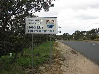 Hartley entrance sign | |||||||||||||||
 Hartley | |||||||||||||||
| Coordinates | 35°11′00″S 139°00′11″E / 35.1832929°S 139.0030330°E | ||||||||||||||
| Population | 149 (SAL 2021)[1] | ||||||||||||||
| Established | 1856 | ||||||||||||||
| Postcode(s) | 5255 | ||||||||||||||
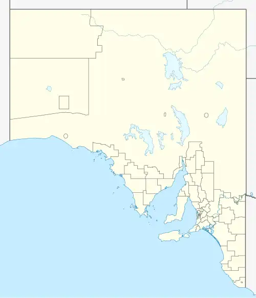
| Location |
| ||||||||||||||
| LGA(s) | Alexandrina Council | ||||||||||||||
| Region | Fleurieu and Kangaroo Island[2] | ||||||||||||||
| State electorate(s) | Heysen | ||||||||||||||
| Federal division(s) | Mayo | ||||||||||||||
| |||||||||||||||
| Footnotes | [3] | ||||||||||||||
Hartley is a ghost town located in South Australia, along the Bremer River on the Strathalbyn-Callington Road.
Founded in 1853 as a small rural settlement, it once boasted a Methodist church (1856), post office (opened 1869 and closed 1981), school (opened 1919 and closed 1970) and creamery. Now the town is little more than a series of ruins and farm houses.
References
- ^ Australian Bureau of Statistics (28 June 2022). "Hartley (SA) (suburb and locality)". Australian Census 2021 QuickStats. Retrieved 28 June 2022.
- ^ "Fleurieu and Kangaroo Island SA Government region" (PDF). The Government of South Australia. Retrieved 10 October 2014.
- ^ Map of Hartley Bonzle