Hazelwood, Minnesota
Hazelwood | |
|---|---|
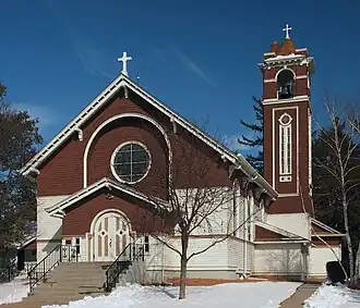 The Church of the Annunciation in Hazelwood | |
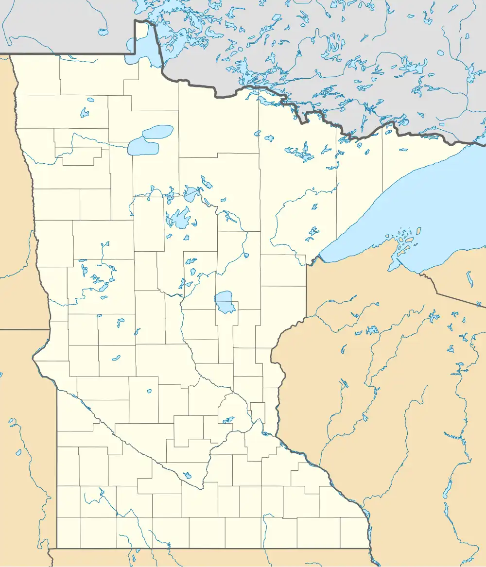 Hazelwood Location of the community of Hazelwood within Webster Township, Rice County  Hazelwood Hazelwood (the United States) | |
| Coordinates: 44°31′21″N 93°17′10″W / 44.52250°N 93.28611°W | |
| Country | United States |
| State | Minnesota |
| County | Rice County |
| Township | Webster Township |
| Elevation | 1,047 ft (319 m) |
| Time zone | UTC-6 (Central (CST)) |
| • Summer (DST) | UTC-5 (CDT) |
| ZIP code | 55057 |
| Area code | 952 |
| GNIS feature ID | 644811[1] |
Hazelwood is an unincorporated community in Webster Township, Rice County, Minnesota, United States.
The community is located at the junction of Rice County Roads 3 and 46, near Interstate 35, 15 miles north of Faribault.
Dutch Creek flows through the community. Nearby places also include Lonsdale, Elko New Market, and Northfield.
Hazelwood had a post office from 1857 to 1905, which was operated out of postmaster John J. McCabe's general store.[2]
References
Municipalities and communities of Rice County, Minnesota, United States | ||
|---|---|---|
| Cities |  | |
| Townships | ||
| CDP | ||
| Unincorporated communities | ||
| Ghost towns/Neighborhoods | ||
| Footnotes | ‡This populated place also has portions in an adjacent county or counties | |