Hendon, Saskatchewan
Hendon | |
|---|---|
 Hendon | |
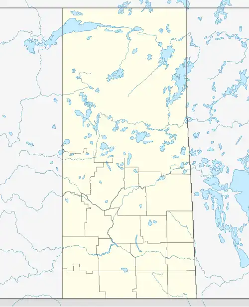
| Coordinates: 51°52′21″N 103°29′37″W / 51.87250°N 103.49361°W | |
| Country | Canada |
| Province | Saskatchewan |
| Region | West Central Saskatchewan |
| Census division | 10 |
| Rural Municipality | Lakeview |
| Government | |
| • Governing body | Hendon Council |
| Area | |
• Total | 0.34 km2 (0.13 sq mi) |
| Population (2016) | |
• Total | 20 |
| • Density | 58.1/km2 (150/sq mi) |
| Time zone | CST |
| Postal code | S0E 0X0 |
| Area code | 306/639 |
| Highways | Highway 35, Highway 758 |
| Railways | Canadian Pacific Railway |
| [1][2][3][4] | |
Hendon is a hamlet in the Rural Municipality of Lakeview No. 337, Saskatchewan, Canada. Listed as a designated place by Statistics Canada, the hamlet had a population of 20 in the Canada 2016 Census.[5]
Demographics
In the 2021 Census of Population conducted by Statistics Canada, Hendon had a population of 10 living in 6 of its 8 total private dwellings, a change of -50% from its 2016 population of 20. With a land area of 0.28 km2 (0.11 sq mi), it had a population density of 35.7/km2 (92.5/sq mi) in 2021.[6]
Canada census – Hendon, Saskatchewan community profile
| 2016 | |
|---|---|
| Population | 20 (+ 100.0% from 2011) |
| Land area | 0.34 km2 (0.13 sq mi) |
| Population density | 58.1/km2 (150/sq mi) |
| Median age | |
| Private dwellings | 8 (total) |
| Median household income | $N/A |
References: 2016[7]
See also
References
- ^ National Archives, Archivia Net, Post Offices and Postmasters, archived from the original on October 6, 2006, retrieved March 5, 2018
- ^ Government of Saskatchewan, MRD Home, Municipal Directory System, archived from the original on November 21, 2008
- ^ Canadian Textiles Institute. (2005), CTI Determine your provincial constituency, archived from the original on September 11, 2007
- ^ Commissioner of Canada Elections, Chief Electoral Officer of Canada (2005), Elections Canada On-line, archived from the original on April 21, 2007
- ^ Canada 2016 Census: Designated places in Saskatchewan
- ^ "Population and dwelling counts: Canada and designated places". Statistics Canada. February 9, 2022. Retrieved August 31, 2022.
- ^ "2016 Community Profiles". 2016 Canadian census. Statistics Canada. August 12, 2021.
Subdivisions of Saskatchewan | |
|---|---|
| Subdivisions | |
| Communities | |
| Cities | |
| Topics |
|
| |
| Towns | 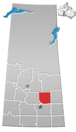 | ||||
|---|---|---|---|---|---|
| Villages | |||||
| Resort villages | |||||
| Rural municipalities | |||||
| First Nations | |||||
| Indian reserves | |||||
| Unincorporated communities |
| ||||
52°05′22″N 103°49′49″W / 52.08944°N 103.83028°W