Henson, Colorado
Henson, Colorado | |
|---|---|
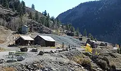 The abandoned Ute-Ulay Mine in Henson. | |
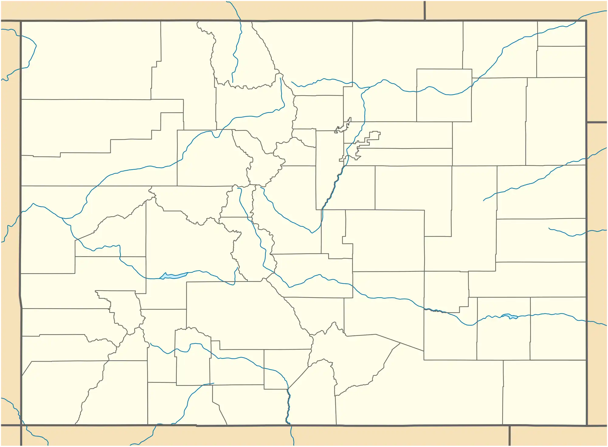 Henson Location within the state of Colorado  Henson Henson (the United States) | |
| Coordinates: 38°01′15″N 107°22′37″W / 38.02083°N 107.37694°W | |
| Country | United States |
| State | Colorado |
| County | Hinsdale |
| Elevation | 9,236 ft (2,815 m) |
| Time zone | UTC-7 (Mountain (MST)) |
| • Summer (DST) | UTC-6 (MDT) |
| GNIS feature ID | 188690[1] |
Henson is a ghost town in Hinsdale County, Colorado, United States.[2][3] Its elevation is 9,236 feet (2,815 m). Henson's name has historically been spelled several different ways, including Hansen, Hanson, Hensen, and Honsen; the Board on Geographic Names officially supported the current spelling in 1896.[1] Henson was named for Henson Creek, which was named for a pioneer settler.[4] The Henson post office operated from May 17, 1883, until November 30, 1913.[5]
Henson is the site of the Ute-Ulay Mine, now abandoned.[2]
Climate
Climate type is dominated by the winter season, a long, bitterly cold period with short, clear days, relatively little precipitation mostly in the form of snow, and low humidity. The Köppen Climate Classification sub-type for this climate is "Dfc" (Continental Subarctic Climate).[6]
| Climate data for Henson, Colorado | |||||||||||||
|---|---|---|---|---|---|---|---|---|---|---|---|---|---|
| Month | Jan | Feb | Mar | Apr | May | Jun | Jul | Aug | Sep | Oct | Nov | Dec | Year |
| Mean daily maximum °C (°F) | 1.1 (33.9) |
3.2 (37.8) |
7.1 (44.7) |
11.8 (53.3) |
17.0 (62.6) |
22.7 (72.9) |
24.9 (76.8) |
23.4 (74.2) |
20.4 (68.8) |
15.3 (59.5) |
7.5 (45.5) |
1.2 (34.2) |
12.9 (55.3) |
| Mean daily minimum °C (°F) | −18.6 (−1.4) |
−16.1 (3.1) |
−10.4 (13.3) |
−5.2 (22.7) |
−0.4 (31.2) |
3.6 (38.5) |
7.1 (44.7) |
6.3 (43.4) |
2.1 (35.8) |
−3.6 (25.6) |
−10.3 (13.4) |
−17.1 (1.3) |
−5.2 (22.6) |
| Average precipitation mm (inches) | 20 (0.8) |
20 (0.8) |
25 (1) |
28 (1.1) |
25 (1) |
20 (0.8) |
51 (2) |
56 (2.2) |
36 (1.4) |
33 (1.3) |
25 (1) |
25 (1) |
360 (14.2) |
| Source: Weatherbase [7] | |||||||||||||
See also
References
- ^ a b c U.S. Geological Survey Geographic Names Information System: Henson, Colorado
- ^ a b Stanley, Deb (October 7, 2016). "Colorado ghost towns and mining history: Exploring the Ute Ulay mining complex and town site". TheDenverChannel.com. Retrieved November 2, 2018.
- ^ "Henson, Colorado and the Ute-Ulay Mines". Legends of America. Retrieved November 2, 2018.
- ^ Gannett, Henry (1905). The Origin of Certain Place Names in the United States. Govt. Print. Off. pp. 155.
- ^ Bauer, William H.; Ozment, James L.; Willard, John H. (1990). Colorado Post Offices 1859–1989. Golden, Colorado: Colorado Railroad Historical Foundation. ISBN 0-918654-42-4.
- ^ Climate Summary for Henson, Colorado
- ^ "Weatherbase.com". Weatherbase. 2013. Retrieved on 17 August 2025.
External links
Municipalities and communities of Hinsdale County, Colorado, United States | ||
|---|---|---|
| Town |  | |
| CDPs | ||
| Ghost town | ||