Herramélluri
Herramélluri | |
|---|---|
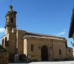 Church of San Esteban | |
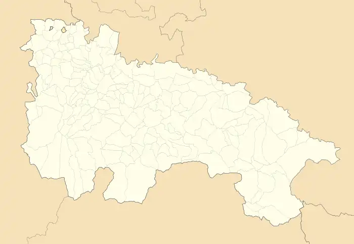 Herramélluri Location within La Rioja. 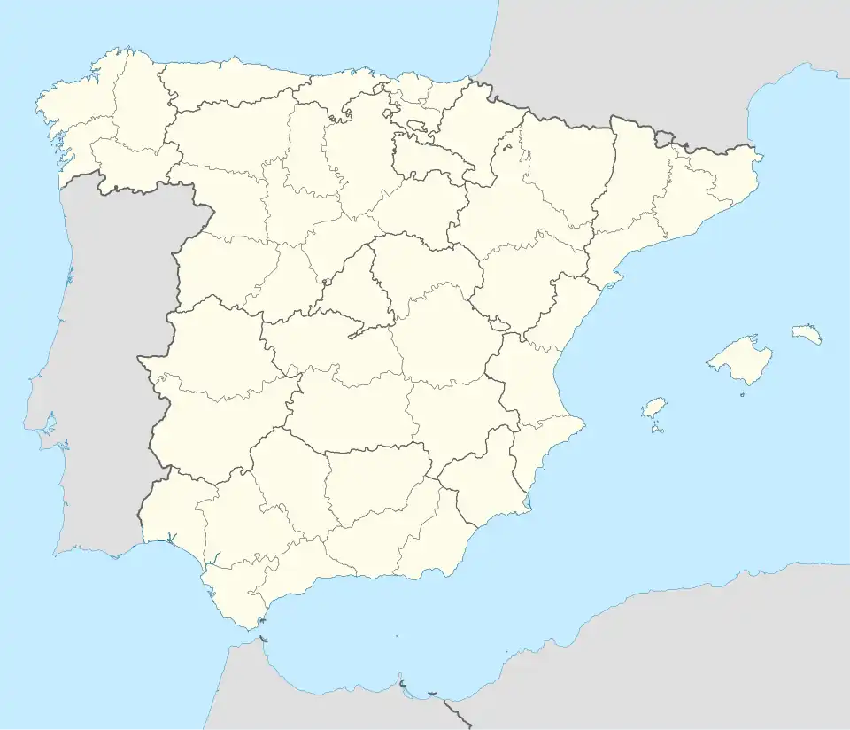 Herramélluri Herramélluri (Spain) | |
| Coordinates: 42°30′07″N 3°01′11″W / 42.50194°N 3.01972°W | |
| Country | |
| Autonomous community | |
| Comarca | Santo Domingo de la Calzada |
| Government | |
| • Mayor | Felix Chinchetru Ranedo (PP) |
| Area | |
• Total | 152.58 km2 (58.91 sq mi) |
| Elevation | 575 m (1,886 ft) |
| Population (2018)[1] | |
• Total | 110 |
| Demonym | libiense |
| Postal code | 26213 |
Herramélluri (Basque for 'Herramel's villa') is a village in the province and autonomous community of La Rioja, Spain. The municipality covers an area of 10.88 square kilometres (4.20 sq mi) and as of 2011 had a population of 106 people.[2] It is named after Herramel, a lord in the 10th century.
References
- ^ Municipal Register of Spain 2018. National Statistics Institute.
- ^ "La Rioja: Población por municipios y sexo:Cifras oficiales de población resultantes de la revisión del Padrón municipal a 1 de enero de 2011". Instituto Nacional de Estadística. Archived from the original on 21 May 2012. Retrieved 27 May 2012.