High Bonnybridge
| High Bonnybridge | |
|---|---|
_(geograph_1930908).jpg) The unoccupied High Bonnybridge Baptist Church | |
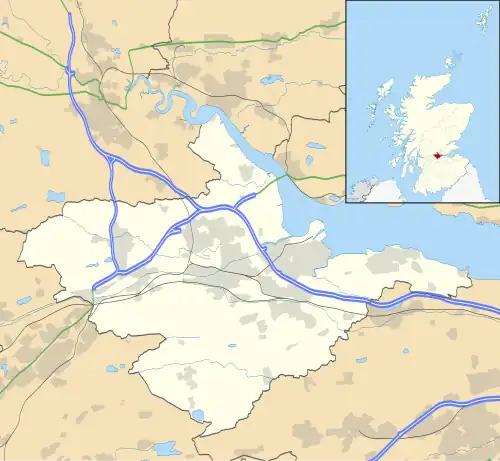 High Bonnybridge Location within the Falkirk council area | |
| Population | 590 (2020)[1] |
| OS grid reference | NS830794 |
| • Edinburgh | 26.8 mi (43.1 km) ESE |
| • London | 346 mi (557 km) SSE |
| Civil parish | |
| Council area | |
| Lieutenancy area | |
| Country | Scotland |
| Sovereign state | United Kingdom |
| Post town | BONNYBRIDGE |
| Postcode district | FK4 |
| Dialling code | 01324 |
| Police | Scotland |
| Fire | Scottish |
| Ambulance | Scottish |
| UK Parliament | |
| Scottish Parliament | |
| Website | falkirk.gov.uk |
High Bonnybridge is a small village which lies in the Falkirk council area of Scotland. The village is located 0.5 miles (0.8 km) south-east of Bonnybridge and 3.6 miles (5.8 km) west-southwest of Falkirk. High Bonnybridge sits north of the main Glasgow to Edinburgh via Falkirk railway line.
At the time of the 2001 census the village had a population of 610 residents.[2]
References
- ^ "Population estimates for settlements and localities in Scotland: mid-2020". National Records of Scotland. 31 March 2022. Retrieved 31 March 2022.
- ^ No 3 - 2001 Census Population of settlements and wards Archived 2011-06-03 at the Wayback Machine www.falkirk.gov.uk. Retrieved 2011-05-02
External links
Wikimedia Commons has media related to High Bonnybridge.