Hintereisspitzen
| Hintereisspitzen | |
|---|---|
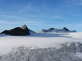 The three Hintereisspitzen from the north from the Brandenburger Haus as seen over the Gepatschferner, second-largest glacier in the Eastern Alps. | |
| Highest point | |
| Elevation | 3,486 m (11,437 ft) |
| Prominence | 270 m (890 ft) |
| Parent peak | Fluchtkogel (Hochvernagtspitze) |
| Coordinates | 46°49′22″N 10°45′52″E / 46.82278°N 10.76444°E |
| Geography | |
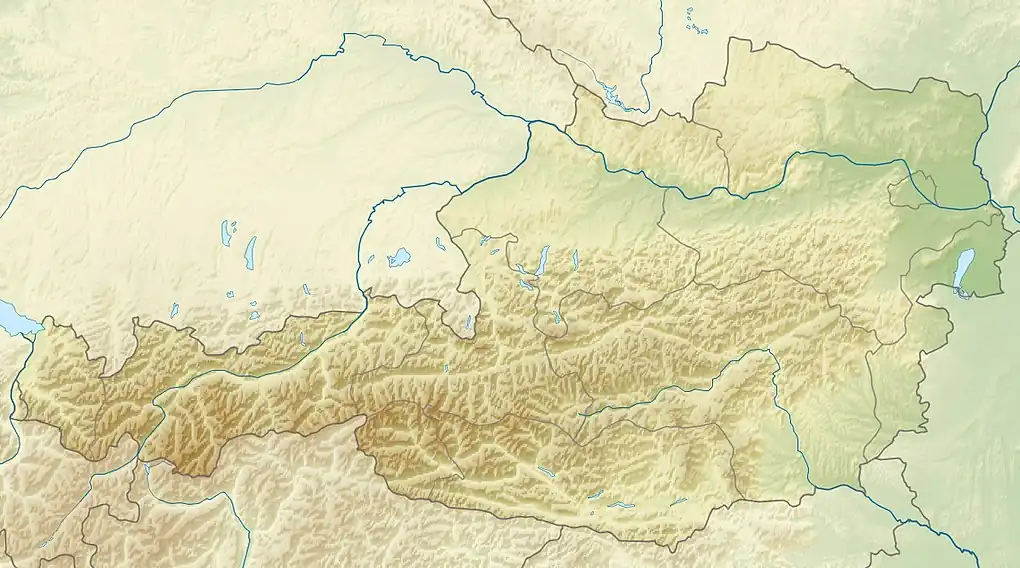 Hintereisspitzen Location within Austria on the Austrian—Italian border | |
| Location | Tyrol, Austria / South Tyrol, Italy |
| Parent range | Ötztal Alps |
| Climbing | |
| First ascent | 28 Jul 1875 by Theodor Petersen and A. Ennemoser |
| Easiest route | Von Norden über den Gepatschferner |
The Hintereisspitzen are three peaks in the Weisskamm group of the Ötztal Alps.[1]
References