Holeb
Holeb | |
|---|---|
Township | |
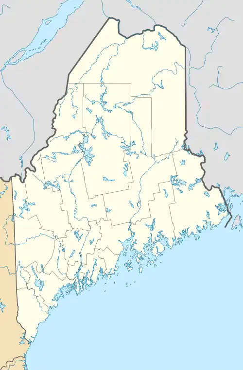 Holeb Location in Maine  Holeb Holeb (the United States) | |
| Coordinates: 45°34′38″N 70°27′23″W / 45.57722°N 70.45639°W | |
| Country | |
| State | |
| County | Somerset County, Maine |
| Area | |
• Total | 102.3 km2 (39.5 sq mi) |
| Elevation | 382 m (1,253 ft) |
| Population (2006)[1] | |
• Total | 2,074 |
| • Density | 20/km2 (50/sq mi) |
| Time zone | UTC-5 (ET) |
| Postal code | 04945 |
Holeb is an unorganized township in western Maine, United States.
Holeb's history mainly consists of logging and recreational fishing. The Moose River runs a significant length through Holeb's township borders.[3]
The Birch Island House is located within Holeb.
References
- ^ a b "Holeb Township". December 20, 2011.
- ^ "Holeb, ME - Detailed weather forecast, long range monthly outlook and climate information". Weather Atlas. Yu Media Group.
- ^ "Holeb Township". Maine: An Encyclopedia. 2011-12-20. Retrieved 2021-03-09.