Hollymead, Virginia
Hollymead | |
|---|---|
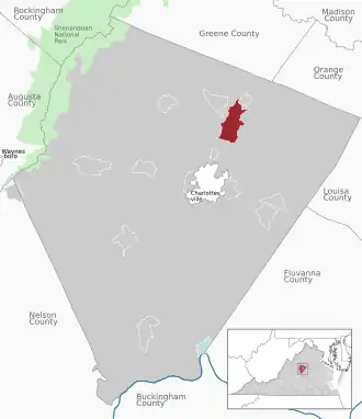 Location of the Hollymead CDP within the Albemarle county | |
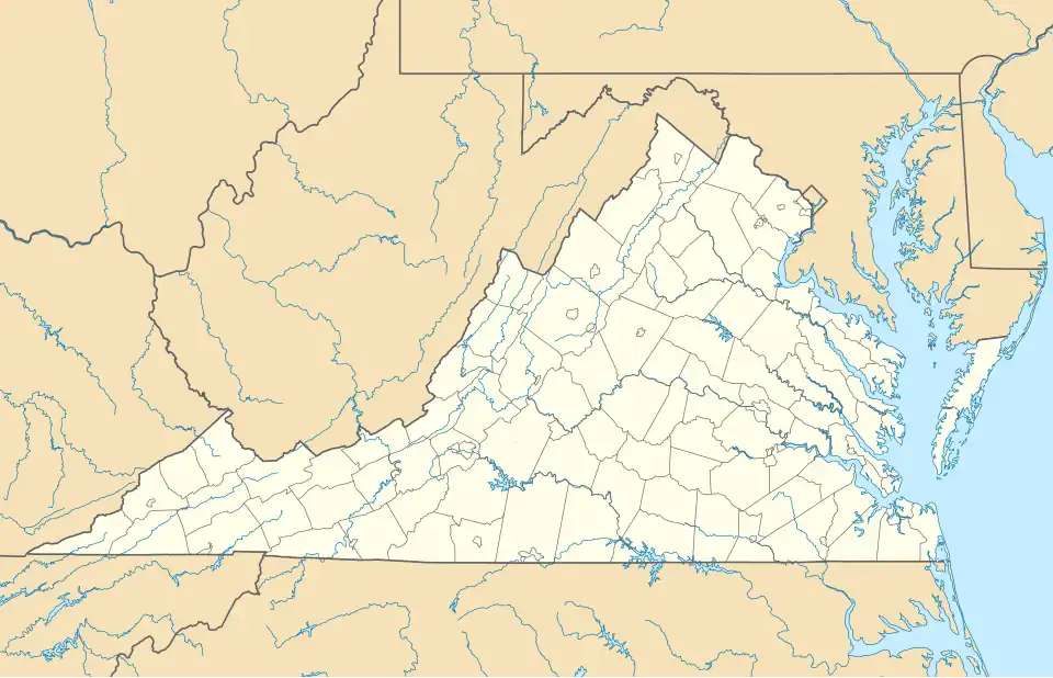 Hollymead Location within the Commonwealth of Virginia  Hollymead Hollymead (the United States) | |
| Coordinates: 38°07′01″N 78°26′30″W / 38.11694°N 78.44167°W | |
| Country | United States |
| State | Virginia |
| County | Albemarle |
| Population (2020) | |
• Total | 8,601 |
| Time zone | UTC−5 (Eastern (EST)) |
| • Summer (DST) | UTC−4 (EDT) |
| GNIS feature ID | 2584858[1] |
Hollymead is a census-designated place (CDP) in Albemarle County, Virginia, United States.[1] The population as of the 2010 Census was 7,690.
Geography
The CDP is located approximately seven miles north of Charlottesville, near Charlottesville-Albemarle Airport.
Demographics
| Census | Pop. | Note | %± |
|---|---|---|---|
| U.S. Decennial Census[2] 2010[3] 2020 | |||
Hollymead was first listed as a census designated place in the 2010 U.S. Census.[3]
References
- ^ a b "Hollymead Census Designated Place". Geographic Names Information System. United States Geological Survey, United States Department of the Interior. Retrieved August 13, 2013.
- ^ "Decennial Census by Decade". United States Census Bureau.
- ^ a b "2010 Census of Population - Population and Housing Unit Counts - Virginia" (PDF). United States Census Bureau.
