Hosabettu
Hosabettu | |
|---|---|
village | |
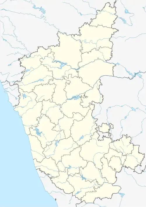 Hosabettu Location in Karnataka, India | |
| Coordinates: 13°01′N 75°00′E / 13.02°N 75.00°E | |
| Country | |
| State | |
| District | Dakshina Kannada |
| Government | |
| • Body | Gram panchayat |
| Area | |
• Total | 10.06 km2 (3.88 sq mi) |
| Population (2011) | |
• Total | 2,260 |
| • Density | 220/km2 (580/sq mi) |
| Languages | |
| • Official | Kannada |
| Time zone | UTC+5:30 (IST) |
| PIN | 575026 |
| ISO 3166 code | IN-KA |
| Vehicle registration | KA |
| Website | karnataka |
Hosabettu is a village located in Mangalore Taluk of Dakshina Kannada District in the Indian state of Karnataka. [1] It is located near Moodbidri and Mangalore.
Demographics
As of 2011 India census, Hosabettu had a population of 2,260. There are 1043 Males 1095 and 1165 females. [1] Hosabettu village has geographical area of 1006.63 hectares with 498 families residing in it.[1] Languages are primarily Tulu, Konkani and Kannada.
Also there is another place by same name Hosabettu a residential locality near Surathkal coming under Mangaluru City Corporation limits. This Hosabettu adjoins national highway 66 ( previously NH-17 ) running from Panvel (near Mumbai city) to Kochi (Cochin).
References
- ^ a b c "POPULATION FINDER 2011". Office of The Registrar General and Census Commissioner, India. Retrieved 10 February 2024.