Howellsville, North Carolina
Howellsville, North Carolina | |
|---|---|
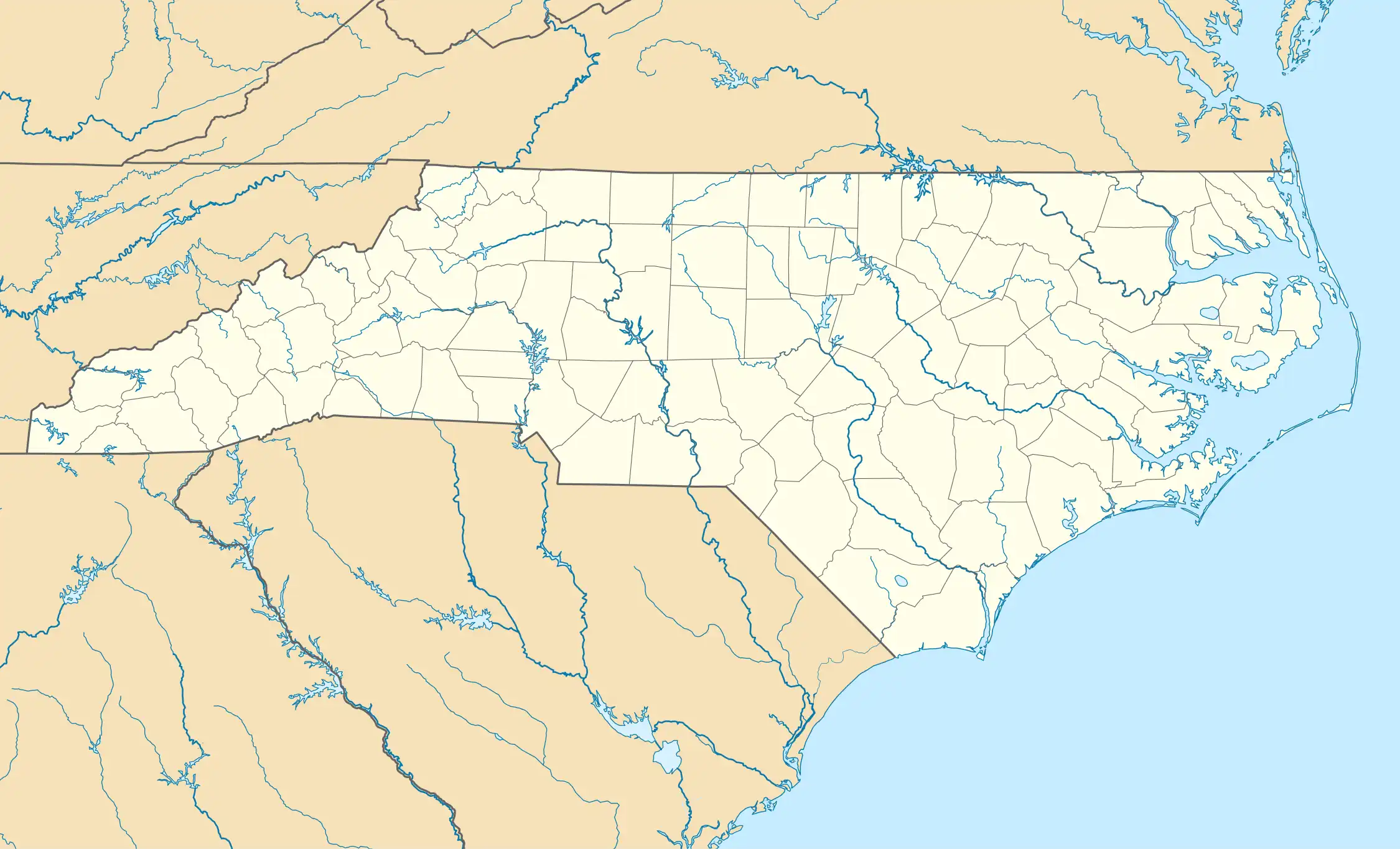 Howellsville Location of Howellsville within North Carolina | |
| Coordinates: 34°41′49″N 78°55′01″W / 34.69694°N 78.91694°W | |
| Country | |
| State | North Carolina |
| County | Robeson |
| Elevation | 141 ft (43 m) |
| Time zone | UTC-5 (EST) |
| • Summer (DST) | UTC-4 (EDT) |
| Area codes | 910, 472 |
| GNIS feature ID | 1006248 |
Howellsville is an unincorporated community located in Robeson County, North Carolina, United States.[1][2][3]
Geography
Howellsville is located in northeastern Robeson County. The elevation of the community is 141 feet (43 m). It appears on the Northeast Lumberton U.S. Geological Survey Map.
References
- ^ "Howellsville, Robeson County, North Carolina". www.travelmath.com. Retrieved February 5, 2025.
- ^ "Howellsville Populated Place Profile - Robeson County, North Carolina Data". northcarolina.hometownlocator.com. Retrieved February 5, 2025.
- ^ "Howellsville, N.C. 28358 - MapQuest". www.mapquest.com. Retrieved February 5, 2025.