Hullavington railway station
Hullavington | |||||
|---|---|---|---|---|---|
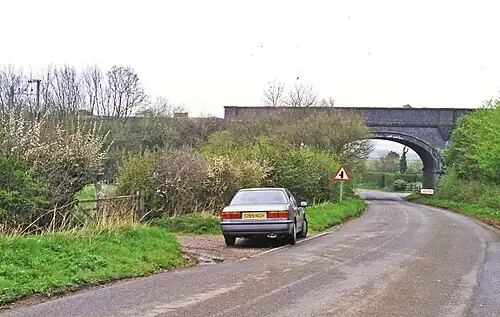 Near the site of the station, 1995 | |||||
| General information | |||||
| Location | Hullavington, Wiltshire England | ||||
| Coordinates | 51°32′39″N 2°08′45″W / 51.5442°N 2.1459°W | ||||
| Grid reference | ST900828 | ||||
| Platforms | 2 | ||||
| Other information | |||||
| Status | Disused | ||||
| History | |||||
| Original company | Great Western Railway | ||||
| Key dates | |||||
| 1 July 1903 | Opened | ||||
| 3 April 1961 | Closed to passengers | ||||
| 4 October 1965 | Closed completely | ||||
| |||||
Hullavington railway station served the civil parish of Hullavington, Wiltshire, England from 1903 to 1965 on the South Wales Main Line.
History
The station was opened on 1 July 1903[1] by the Great Western Railway, on an embankment just west of the Hullavington-Norton road, about half a mile north of Hullavington village.[2] There was a goods yard and a weighbridge. The station closed to passengers on 3 April 1961 and to goods traffic on 4 October 1965.[3][4]
References
- ^ Quick, M E (2002). Railway passenger stations in England, Scotland and Wales - a chronology. Richmond: Railway and Canal Historical Society. p. 235. OCLC 931112387.
- ^ "Ordnance Survey 1:25,000 maps of Great Britain, sheet ST88". National Library of Scotland. 1951. Retrieved 17 September 2017.
- ^ Oakley, Mike (2004). Wiltshire Railway Stations. Wimborne: The Dovecote Press. pp. 70–71. ISBN 1-904349-33-1.
- ^ "Hullavington". Wiltshire Community History. Wiltshire Council. Retrieved 8 September 2017.
External links
| Preceding station | Historical railways | Following station | ||
|---|---|---|---|---|
| Little Somerford Line open, station closed |
Great Western Railway South Wales Main Line |
Badminton Line open, station closed | ||