Hundred of Woolundunga
| Woolundunga South Australia | |||||||||||||||
|---|---|---|---|---|---|---|---|---|---|---|---|---|---|---|---|
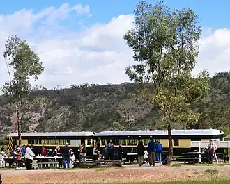 Pichi Richi Railway carriages at Saltia in the northwest of the hundred | |||||||||||||||
 Woolundunga | |||||||||||||||
| Coordinates | 32°32′S 138°01′E / 32.53°S 138.01°E | ||||||||||||||
| Established | 8 July 1875 | ||||||||||||||
| Area | 410 km2 (157 sq mi) | ||||||||||||||
| County | Frome | ||||||||||||||
| |||||||||||||||
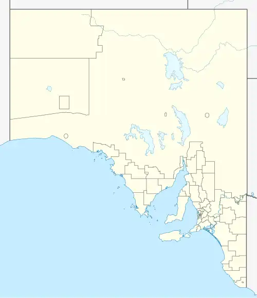
The Hundred of Woolundunga is a cadastral unit of hundred in South Australia spanning Mount Brown Conservation Park and including the localities of Woolundunga and Saltia.[1] It is one of the 14 hundreds of the County of Frome close to the northeast coast of Spencer Gulf.
See also
References
- ^ "Hundred of Woolundunga". Property Location Browser. Government of South Australia. SA0024695. Archived from the original on 7 December 2015. Retrieved 13 February 2018.
Other Details: Area 157 square miles. Aboriginal for some springs at Mt Brown, also the name of an Aboriginal tribe.