Ikawa, Shizuoka
Ikawa
井川村 | |
|---|---|
Former municipality | |
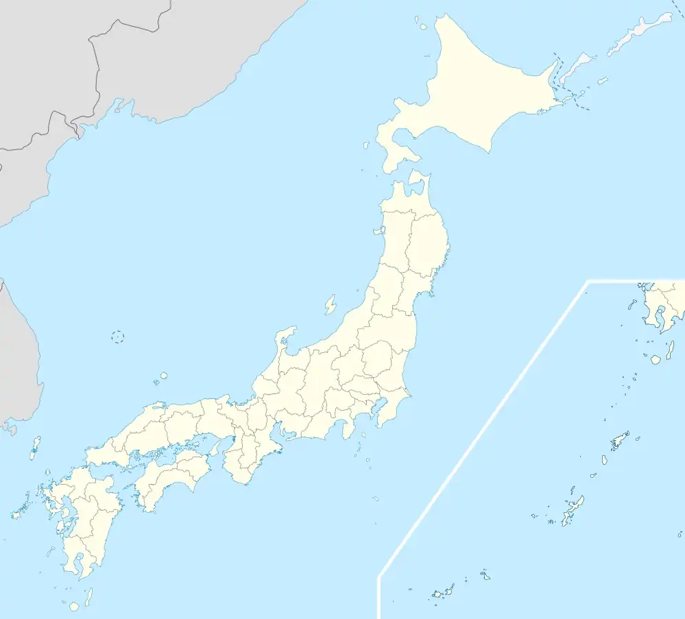 Ikawa Location in Japan | |
| Coordinates: 35°13′01″N 138°15′00″E / 35.217°N 138.250°E | |
| Country | Japan |
| Region | Chūbu region (Tōkai region) |
| Prefecture | Shizuoka |
| District | Abe District |
| Merged | January 1, 1969 (now part of Aoi-ku, Shizuoka) |
| Area | |
• Total | 498.90 km2 (192.63 sq mi) |
| Population (April 1, 2005) | |
• Total | 2,471 |
| • Density | 4.95/km2 (12.8/sq mi) |
| Time zone | UTC+09:00 (JST) |
Ikawa (井川村, Ikawa-mura) was a village located in Abe District, Shizuoka Prefecture, Japan.
On January 1, 1969 Ikawa joined with neighboring Shizuoka city. It is now part of Aoi-ku, Shizuoka.
As of January 1, 1969-final population data before the amalgamation, the town had an estimated population of 2,471 and a density of 4.95 persons per km2. The total area was 498.90 km2.
Ikawa, located in the mountainous area between Shizuoka and Yamanashi Prefecture is the location of Ikawa Dam, a major hydroelectric power plant for Shizuoka Prefecture. It is also a popular sightseeing location for local residents. "Ikawa Menpa" which is a lacquered hinoki wooden lunch box is a local speciality.
External links
- Shizuoka City official website (in Japanese)