Indiola, Oregon
Indiola, Oregon | |
|---|---|
 | |
 Indiola  Indiola | |
| Coordinates: 44°04′50″N 123°47′28″W / 44.08056°N 123.79111°W | |
| Country | United States |
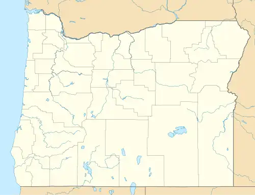
| State | Oregon |
| County | Lane |
| Elevation | 200 ft (60 m) |
| Time zone | UTC-8 (Pacific (PST)) |
| • Summer (DST) | UTC-7 (PDT) |
| ZIP code | 97453 |
| GNIS feature ID | 1989138[1] |
Indiola is an unincorporated community in Lane County, Oregon, United States.[2] It is located on Oregon Route 36 about 10 miles (16 km) east of its junction with Oregon Route 126 in Mapleton, near the Siuslaw River.
References
- ^ a b U.S. Geological Survey Geographic Names Information System: Indiola, Oregon
- ^ "Indiola". Geographic Names Information System. United States Geological Survey, United States Department of the Interior. July 10, 2003. Retrieved October 5, 2011.
Municipalities and communities of Lane County, Oregon, United States | ||
|---|---|---|
| Cities |  | |
| CDPs | ||
| Other communities |
| |
| Ghost towns | ||
| Indian reservation | ||
| Footnotes | ‡This populated place also has portions in an adjacent county or counties | |