Ingersleben, Thuringia
Ingersleben | |
|---|---|
 Coat of arms | |
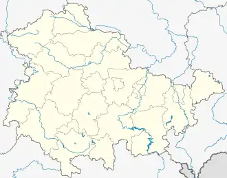
Location of Ingersleben | |
 Ingersleben  Ingersleben | |
| Coordinates: 50°55′12″N 10°55′59″E / 50.92000°N 10.93306°E | |
| Country | Germany |
| State | Thuringia |
| District | Gotha |
| Municipality | Nesse-Apfelstädt |
| Area | |
• Total | 9.63 km2 (3.72 sq mi) |
| Elevation | 235 m (771 ft) |
| Population (2006-12-31) | |
• Total | 1,058 |
| • Density | 110/km2 (280/sq mi) |
| Time zone | UTC+01:00 (CET) |
| • Summer (DST) | UTC+02:00 (CEST) |
| Postal codes | 99192 |
| Dialling codes | 036202 |
Ingersleben is a village and a former municipality in the district of Gotha, in Thuringia, Germany. Since 1 December 2009, it is part of the municipality Nesse-Apfelstädt.