Inhottu
| Inhottu | |
|---|---|
 | |
 Inhottu | |
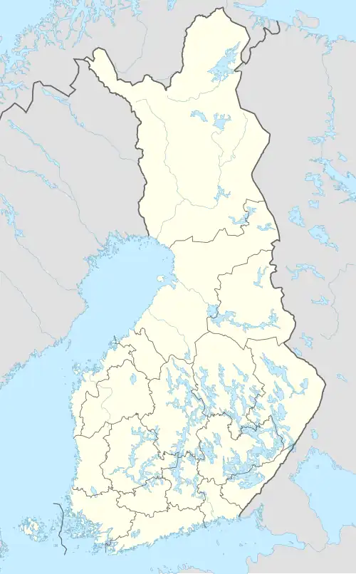
| Location | Pori, Pomarkku |
| Coordinates | 61°37.2′N 22°08.5′E / 61.6200°N 22.1417°E |
| Type | Lake |
| Primary outflows | rivers Pomarkunjoki and Eteläjoki |
| Catchment area | Karvianjoki |
| Basin countries | Finland |
| Surface area | 4.49 km2 (1.73 sq mi) |
| Average depth | 0.8 m (2 ft 7 in)[1] |
| Water volume | 0.0039 km3 (3,200 acre⋅ft)[1] |
| Shore length1 | 24.35 km (15.13 mi) |
| Surface elevation | 43 m (141 ft) |
| Frozen | December–April |
| References | [2] |
| 1 Shore length is not a well-defined measure. | |
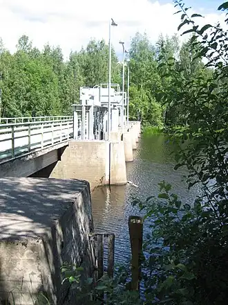
Inhottu (Finnish: Inhottujärvi) is a rather small lake in the Karvianjoki main catchment area. It is located in the region of Satakunta in Finland.[2] It is a bifurcation lake because there are two outlets on the lake: the waters flow into the Gulf of Bothnia through the river Eteläjoki in Pori and into lake Isojärvi through the river Pomarkunjoki.
Inhottu is a European Natura 2000 area because of the protection of birds.[3]
See also
References
- ^ a b Saari, Tuuli (2006). Selvitys Inhottujärven säännöstelystä ja tilan parantamisesta [Regulation and condition of the Inhottu lake] (in Finnish). Turku: Lounais-Suomen ympäristökeskus. ISBN 952-11-2357-5.
- ^ a b Inhottu in the Jarviwiki Web Service. Retrieved 2014-05-24.
- ^ Factsheet of Inhottujärvi. Eunis. Retrieved 2014-05-24.