Inka Pirqa
| Inka Pirqa | |
|---|---|
 Inka Pirqa Peru | |
| Highest point | |
| Elevation | 5,075 m (16,650 ft)[1] |
| Coordinates | 14°07′20″S 71°12′52″W / 14.12222°S 71.21444°W |
| Geography | |
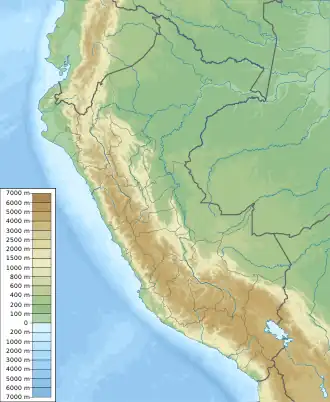
| Location | Peru, Cusco Region, Canchis Province |
| Parent range | Andes |
Inka Pirqa or Inkapirqa (Quechua Inka Inca, pirqa (Kichwa pirka) wall,[2] "Inca wall", Hispanicized spelling Incaperca) is a 5,075-metre-high (16,650 ft) mountain in the Andes of Peru. It is located in the Cusco Region, Canchis Province, on the border of the districts of Combapata and San Pablo.[3]
References
- ^ Peru 1:100,000, Sicuani 2642, Map prepared and published by the Defense Mapping Agency, Hydrographic/Topographic Center, Bethesda, MD
- ^ "Diccionario: Quechua - Español - Quechua, Simi Taqe: Qheswa - Español - Qheswa" (PDF). Diccionario Quechua - Español - Quechua. Gobierno Regional del Cusco, Perú: Academía Mayor de la Lengua Quechua. 2005.
- ^ escale.minedu.gob.pe - UGEL map of the Canchis Province (Cusco Region) (unnamed)