Invershin
Invershin
| |
|---|---|
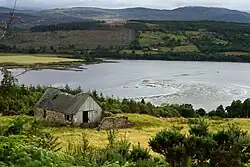 Ruined cottage in Invershin | |
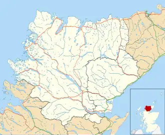 Invershin Location within the Sutherland area | |
| OS grid reference | NH579952 |
| Council area | |
| Lieutenancy area | |
| Country | Scotland |
| Sovereign state | United Kingdom |
| Post town | lairg |
| Postcode district | IV27 |
| Police | Scotland |
| Fire | Scottish |
| Ambulance | Scottish |
| UK Parliament | |
| Scottish Parliament | |
Invershin (Scottish Gaelic: Inbhir Sin) is a scattered village in the Parish of Creich, 6 miles (10 km) south of Lairg[1] and 4 miles (6.4 km) north of Bonar Bridge in the south of Sutherland in the Scottish Highlands and is in the Scottish council area of Highland.[2]
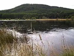
Invershin is located close to the junction of the River Shin and the River Oykel.[1] Lands of "Inverchyn" or "Inverchen" are mentioned in 13th century documents. The motte remains of Invershin Castle are located near Invershin.[3]
It is served by Invershin railway station, and is the location of the Shin Railway Viaduct which carries the Far North Line across the Kyle of Sutherland. In 2000, a footbridge was added to the northern side of the viaduct and is part of National Cycle Network Route 1.
References
- ^ a b "Invershin: Overview". Gazetteer for Scotland. Retrieved 14 April 2018.
- ^ Gittings, Bruce; Munro, David. "Invershin". The Gazetteer for Scotland. School of GeoSciences, University of Edinburgh and The Royal Scottish Geographical Society. Retrieved 30 July 2018.
- ^ Historic Environment Scotland. "Invershin Castle (Site no. NH59NE 2)". Retrieved 24 June 2025.