Isentällispitz
| Isentällispitz | |
|---|---|
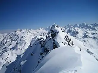 Isentällispitz from Rothbühelspitze summit | |
| Highest point | |
| Elevation | 2,873 m (9,426 ft) |
| Prominence | 384 m (1,260 ft)[1] |
| Parent peak | Piz Linard |
| Listing | Alpine mountains 2500-2999 m |
| Coordinates | 46°54′48″N 9°57′45″E / 46.91333°N 9.96250°E |
| Geography | |
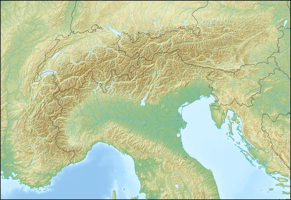 Isentällispitz Location in the Alps | |
| Location | Graubünden, Switzerland Vorarlberg, Austria |
| Parent range | Silvretta Alps |
Isentällispitz (2,873 m) is a mountain of the Silvretta Alps, located on the border between Austria and Switzerland. The closest locality is Klosters on the Swiss side.
References
External links