Jacupiranga
Jacupiranga | |
|---|---|
 Coat of arms | |
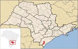 Location in São Paulo state | |
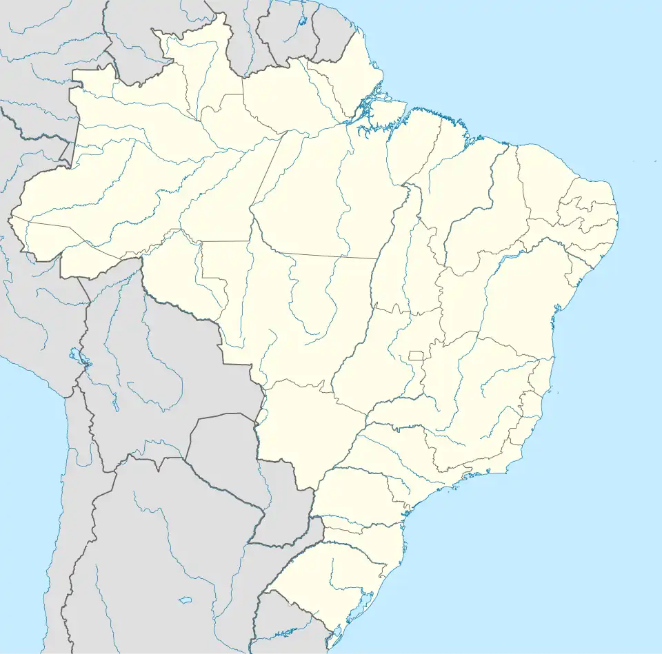 Jacupiranga Location in Brazil | |
| Coordinates: 24°41′33″S 48°0′8″W / 24.69250°S 48.00222°W | |
| Country | Brazil |
| Region | Southeast |
| State | São Paulo |
| Area | |
• Total | 704 km2 (272 sq mi) |
| Population (2020 [1]) | |
• Total | 17,889 |
| • Density | 25/km2 (66/sq mi) |
| Time zone | UTC−3 (BRT) |
Jacupiranga is a municipality in the state of São Paulo in Brazil. The population is 17,889 (2020 est.) in an area of 704 km².[2] The elevation is 33 m.
The municipality contains part of the 182,596 hectares (451,200 acres) Rio Turvo State Park, created in 2008.[3]
Toponym
"Jacupiranga" is a Tupi term that means "red guan", through the combination of the terms ya'ku ("guan") and pyrang ("red").The guans are birds of the genus Penelope, from the Cracidae family.[4]
Media
In telecommunications, the city was served by Telecomunicações de São Paulo.[5] In July 1998, this company was acquired by Telefónica, which adopted the Vivo brand in 2012. The company is currently an operator of cell phones, fixed lines, internet (fiber optics/4G) and television (satellite and cable).[6]
See also
References
- ^ IBGE 2020
- ^ Instituto Brasileiro de Geografia e Estatística
- ^ Zanchetta, Inês; Bedeschi, Luciana (28 February 2008), Mosaico do Jacupiranga, no Vale do Ribeira, agora é lei (in Portuguese), ISA: Instituto Socioambiental, archived from the original on 2016-11-21, retrieved 2016-11-20
{{citation}}: CS1 maint: publisher location (link) - ^ "Penelope Merrem 1786 - Encyclopedia of Life". eol.org. Retrieved 2023-07-04.
- ^ "Creation of Telesp - April 12, 1973". www.imprensaoficial.com.br (in Portuguese). Retrieved 2024-06-14.
- ^ "Our History - Telefônica RI". Telefônica. Retrieved 2024-06-14.