Jamestown, Washington
Jamestown, Washington | |
|---|---|
 Jamestown | |
| Coordinates: 48°07′28″N 123°05′28″W / 48.12444°N 123.09111°W | |
| Country | United States |
| State | Washington |
| County | Clallam |
| Area | |
• Total | 0.6 sq mi (1.5 km2) |
| • Land | 0.6 sq mi (1.5 km2) |
| • Water | 0.0 sq mi (0.0 km2) |
| Elevation | 26 ft (8 m) |
| Population | |
• Total | 412 |
| • Density | 710/sq mi (270/km2) |
| Time zone | UTC-8 (Pacific (PST)) |
| • Summer (DST) | UTC-7 (PDT) |
| ZIP code | 98382[3] |
| Area code | 360 |
| FIPS code | 53-33890[4] |
| GNIS feature ID | 2586735[1] |
Jamestown is an unincorporated community and census-designated place (CDP) in Clallam County, Washington, United States. The population was 361 at the 2010 census.[4]
The community derives its name from Chief James, a Clallam Indian leader.[5]
Geography
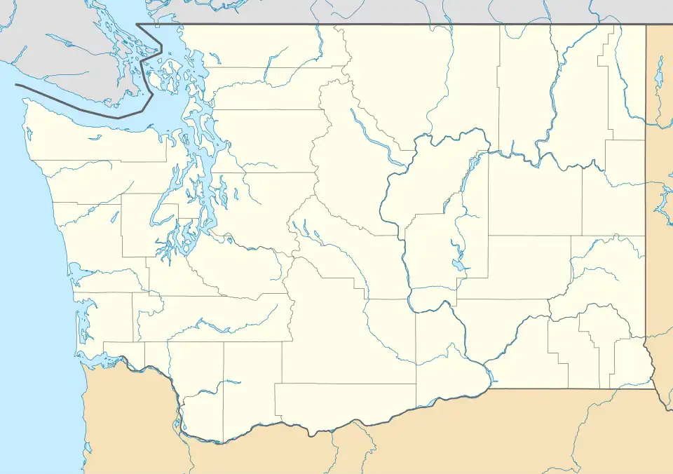
Jamestown is located in northeastern Clallam County, along the shore of the Strait of Juan de Fuca southeast of Dungeness. It is 4 miles (6 km) north of the city of Sequim.
According to the United States Census Bureau, the Jamestown CDP has a total area of 0.58 square miles (1.5 km2), all of it land.[4]
See also
References
- ^ a b U.S. Geological Survey Geographic Names Information System: Jamestown, Washington
- ^ "Census Bureau profile: Jamestown, Washington". United States Census Bureau. May 2023. Retrieved May 10, 2024.
- ^ "Jamestown WA ZIP Code". zipdatamaps.com. 2023. Retrieved June 16, 2023.
- ^ a b c "Geographic Identifiers: 2010 Demographic Profile Data (G001): Jamestown CDP, Washington". U.S. Census Bureau, American Factfinder. Retrieved August 27, 2015.
- ^ Meany, Edmond S. (1923). Origin of Washington geographic names. Seattle: University of Washington Press. p. 123.
Municipalities and communities of Clallam County, Washington, United States | ||
|---|---|---|
| Cities | 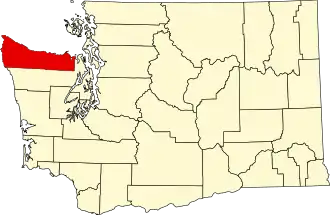 | |
| CDPs | ||
| Other communities | ||
| Indian reservations | ||
| Ghost towns | ||