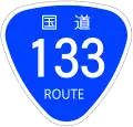
Japan National Route 133
 | ||||
|---|---|---|---|---|
| 国道133号 | ||||
 | ||||
| Route information | ||||
| Length | 1.4 km[1] (0.87 mi) | |||
| Existed | 1953–present | |||
| Major junctions | ||||
| East end | Port of Yokohama | |||
| West end | ||||
| Location | ||||
| Country | Japan | |||
| Highway system | ||||
| ||||
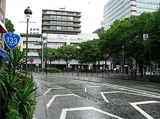
National Route 133 is a short national highway of Japan connecting the Port of Yokohama and Sakuragichō, Naka-ku, Yokohama[2] in Japan, with a total length of 1.4 km (0.87 mi).
References
- ^ "一般国道の路線別、都道府県別道路現況" [Road statistics by General National Highway route and prefecture] (PDF) (in Japanese). Ministry of Land, Infrastructure, Transport and Tourism. Retrieved 19 February 2020.
- ^ Cabinet Order Designating Routes of General National Highways (Cabinet Order No. 58 of 1965)
Wikimedia Commons has media related to Route 133 (Japan).