Jerisjärvi
| Jerisjärvi | |
|---|---|
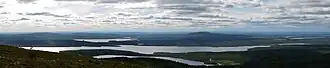 Jerisjärvi seen from Keimiö fell | |
 Jerisjärvi | |
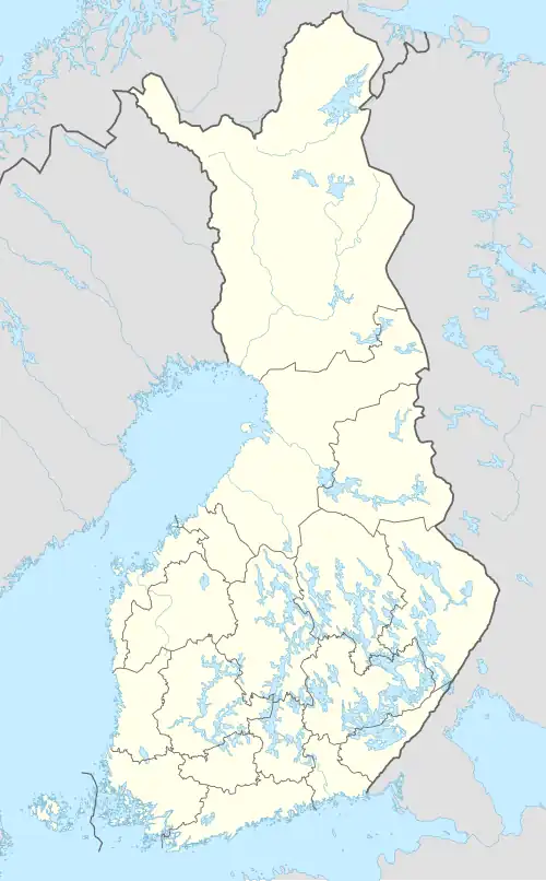
| Location | Muonio, Kittilä |
| Coordinates | 67°54′N 024°08′E / 67.900°N 24.133°E |
| Primary outflows | Jerisjoki |
| Catchment area | 132 km2 (51 sq mi) |
| Basin countries | Finland |
| Surface area | 23.51 km2 (9.08 sq mi) |
| Average depth | 3.44 m (11.3 ft) |
| Max. depth | 11.7 m (38 ft) |
| Water volume | 0.0808 km3 (0.0194 cu mi) |
| Shore length1 | 74.83 km (46.50 mi) |
| Surface elevation | 257.6 m (845 ft) |
| Islands | Isosaari |
| References | [1] |
| 1 Shore length is not a well-defined measure. | |
Jerisjärvi is a medium-sized lake of Finland in Muonio and Kittilä. It belongs to Tornionjoki main catchment area in Lapland.[1] in the southern side of the Pallas-Yllästunturi National Park.
The best season to visit and kayak or canoe is between June and September.
See also
References
- ^ a b Jerisjärvi in the Jarviwiki Web Service. Retrieved 2014-03-02. (in English)
- Jerisjärvi in the Citizen´s Map site. Retrieved 2014-03-02.
External links
 Media related to Lake Jerisjärvi at Wikimedia Commons