Jewell, Georgia
Jewell | |
|---|---|
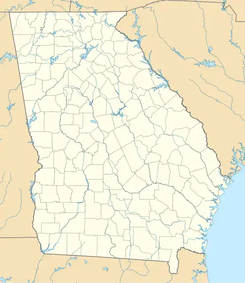 Jewell Location within the state of Georgia  Jewell Jewell (the United States) | |
| Coordinates: 33°17′47″N 82°46′38″W / 33.29639°N 82.77722°W | |
| Country | United States |
| State | Georgia |
| County | Warren, Hancock |
| Elevation | 420 ft (130 m) |
| Time zone | UTC-5 (Eastern (EST)) |
| • Summer (DST) | UTC-4 (EDT) |
| ZIP codes | 31045 |
| GNIS feature ID | 332098 |
Jewell (also Jewells, Jewells Mills, Rock Factory, and Shivers) is an unincorporated community in the U.S. state of Georgia. It lies along Georgia Piedmont Scenic Byway/State Route 16 to the southwest of the city of Warrenton, the county seat of Warren County.[1] Jewell's elevation is 420 feet (128 m).[2] It has a post office with the ZIP code 31045.[3] It is by the Ogeechee River, which is the western border of Warren County at this point.
Jewell has also been described as being at, or including, the intersection of Mayfield Road/Hamburg State Park Road and Georgia State Route 16, which is west across the Ogeechee River in Hancock County.[4] The "Jewell House", a historic home which is now a wedding venue, is on the west side of the river.[5]
The Jewell Historic District, in Hancock County, is listed on the National Register of Historic Places.
The Shivers-Simpson House, a short way up the Mayfield Road, is listed on the National Register of Historic Places.
See also
References
- ^ Rand McNally. The Road Atlas '05. Skokie: Rand McNally, 2005, p. 28.
- ^ U.S. Geological Survey Geographic Names Information System: Jewell, Georgia, Geographic Names Information System, 1979-09-25. Accessed 2007-12-23.
- ^ USPS – Cities by ZIP Code
- ^ William R. Mitchell, Jr. (April 17, 1970). "National Register of Historic Places Inventory/Nomination: Shivers-Simpson House, or "Rock Mill" / "Rock Mill"". National Park Service. Retrieved December 3, 2019. With accompanying two photos from 1969
- ^ https://www.thejewellhouse.com/
Municipalities and communities of Hancock County, Georgia, United States | ||
|---|---|---|
| City |  | |
| Unincorporated communities | ||
Municipalities and communities of Warren County, Georgia, United States | ||
|---|---|---|
| Cities |  | |
| Town | ||
| Unincorporated communities | ||