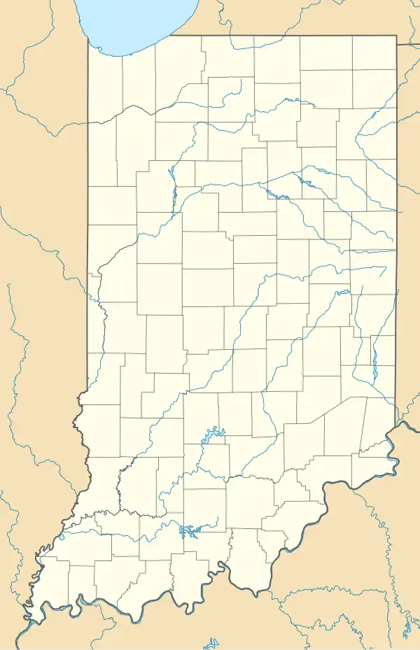
Jolietville, Indiana
Jolietville | |
|---|---|
Town | |
 Looking east toward Jolietville along Indiana State Road 32 | |
 Jolietville | |
| Coordinates: 40°02′31″N 86°13′52″W / 40.04194°N 86.23111°W | |
| Country | |
| State | |
| County | Hamilton |
| Township | Westfield Washington |
| Elevation | 280 m (919 ft) |
| ZIP code | 46074 |
| FIPS code | 18-38844[1] |
| GNIS feature ID | 437071[2] |
Jolietville is a neighborhood of Westfield, Indiana, in Washington Township, Hamilton County, Indiana. It was formerly an unincorporated community, but was annexed by Westfield in the late 2000s or early 2010s.[3]
Geography
Jolietville is located at 40°02′31″N 86°13′52″W / 40.04194°N 86.23111°W. The community is located at the intersection of Indiana State Road 32 and Joliet Road, just east of the Indianapolis Executive Airport.
References
- ^ "U.S. Census website". United States Census Bureau. Retrieved January 31, 2008.
- ^ "Jolietville, Indiana". Geographic Names Information System. United States Geological Survey, United States Department of the Interior. Retrieved October 17, 2009.
- ^ 2012 Boundary and Annexation Survey (BAS): Westfield city, IN, United States Census Bureau.
