Joutsjärvi
| Joutsjärvi | |
|---|---|
 Joutsjärvi | |
| Coordinates | 61°31′N 25°50′E / 61.52°N 25.83°E |
| Basin countries | Finland |
| Surface area | 10.123 km2 (3.909 sq mi) |
| Average depth | 3.79 m (12.4 ft) |
| Max. depth | 23.66 m (77.6 ft) |
| Water volume | 0.0384 km3 (31,100 acre⋅ft) |
| Shore length1 | 53.6 km (33.3 mi) |
| Surface elevation | 85.6 m (281 ft) |
| Settlements | Sysmä |
| References | [1] |
| 1 Shore length is not a well-defined measure. | |
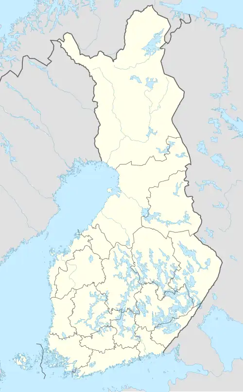
Joutsjärvi is a medium-sized lake in the Kymijoki main catchment area. It is located in the region Päijänne Tavastia in Finland.[1]
See also
References
- ^ a b Joutsjärvi in the Jarviwiki Web Service. Retrieved 2014-03-05. (in English)