Junland, Missouri
Junland, Missouri | |
|---|---|
 Junland  Junland | |
| Coordinates: 36°46′07″N 90°16′51″W / 36.76861°N 90.28083°W | |
| Country | United States |
| State | Missouri |
| County | Butler |
| Elevation | 325 ft (99 m) |
| Time zone | UTC-6 (Central (CST)) |
| • Summer (DST) | UTC-5 (CDT) |
| Area code | 573 |
| GNIS feature ID | 750553[1] |
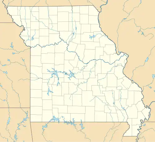
Junland is an unincorporated community in Butler County in the U.S. state of Missouri.[1]
Junland is located at the junction of Missouri routes B (old Route 60) and Z, five miles east of Poplar Bluff. It was a station on the Missouri Pacific Railroad.[2]
The name Junland is a shortened alteration of "jungleland," descriptive of the condition of the original town site.[3]
On January 29, 2013, an EF2 tornado struck Junland. The storm leveled a small, older, poorly constructed home, destroyed a mobile home, and blew over several small structures. Many trees were also snapped along the path.[4]
References
- ^ a b U.S. Geological Survey Geographic Names Information System: Junland, Missouri
- ^ Poplar Bluff, MO, 15 Minute Topographic Quadrangle, USGS, 1935 (1950 rev.)
- ^ "Butler County Place Names, 1928–1945 (archived)". The State Historical Society of Missouri. Archived from the original on June 24, 2016. Retrieved September 6, 2016.
{{cite web}}: CS1 maint: bot: original URL status unknown (link) - ^ National Weather Service Weather Forecast Office in Paducah, Kentucky (2013). Missouri Event Report: EF2 Tornado (Report). National Centers for Environmental Information. Retrieved November 18, 2017.
 This article incorporates text from this source, which is in the public domain.
Municipalities and communities of Butler County, Missouri, United States | ||
|---|---|---|
| Cities | 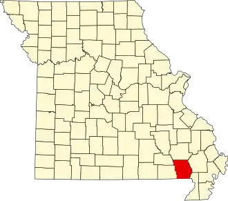 | |
| Townships | ||
| CDPs | ||
| Other communities | ||
| Ghost town | ||
| Footnotes | ‡This populated place also has portions in an adjacent county or counties | |