Kępice
Kępice | |
|---|---|
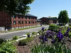 Ulica Niepodległości (Independence Street) in Kępice | |
 Flag  Coat of arms | |
 Kępice | |
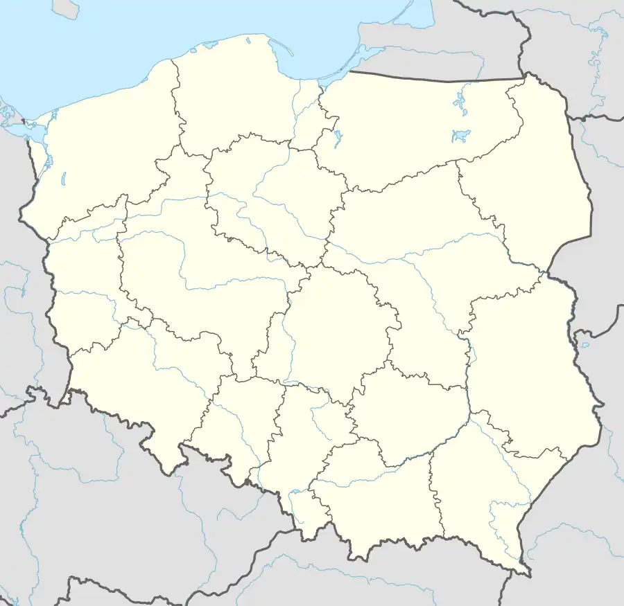
| Coordinates: 54°14′28″N 16°53′23″E / 54.24111°N 16.88972°E | |
| Country | |
| Voivodeship | |
| County | Słupsk |
| Gmina | Kępice |
| Town rights | 1967 |
| Government | |
| • Mayor | Przemysław Wolański |
| Area | |
• Total | 6.11 km2 (2.36 sq mi) |
| Population (2017) | |
• Total | 3,646 |
| • Density | 600/km2 (1,500/sq mi) |
| Time zone | UTC+1 (CET) |
| • Summer (DST) | UTC+2 (CEST) |
| Postal code | 77–230 |
| Vehicle registration | GSL |
| Voivodeship roads | |
| Website | http://www.kepice.pl |
Kępice [kɛmˈpʲit͡sɛ] (Kashubian: Kãpice, or Hômer; German: Hammermühle)[1] is a town and seat of Gmina Kępice in Słupsk County, Pomeranian Voivodeship, northern Poland.[2] It has 3,646 inhabitants and is 6.11 square kilometres (2.36 sq mi) in size.
History
During World War II, the German adminitration operated two forced labour subcamps of the Stalag II-B prisoner-of-war camp for Allied POWs.[3]
Kępice was granted town rights in 1967.
References
- ^ Ortsnamenverzeichnis der Ortschaften jenseits von Oder und Neiße by M. Kaemmerer
- ^ "Główny Urząd Statystyczny" [Central Statistical Office] (in Polish). To search: Select "Miejscowości (SIMC)" tab, select "fragment (min. 3 znaki)" (minimum 3 characters), enter town name in the field below, click "WYSZUKAJ" (Search).
- ^ "Les Kommandos". Stalag IIB Hammerstein, Czarne en Pologne (in French). Retrieved 18 October 2024.