Kabirpur, Ghazipur
Kabirpur
Rohura | |
|---|---|
Village | |
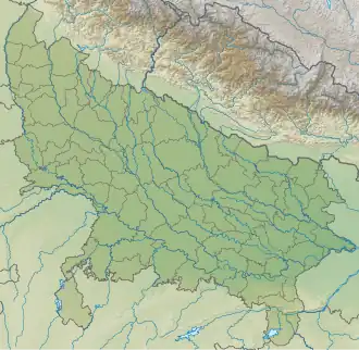 Kabirpur Location in Uttar Pradesh, India | |
| Coordinates: 25°20′06″N 83°36′52″E / 25.3351118°N 83.6144526°E | |
| Country | |
| State | Uttar Pradesh |
| District | Ghazipur |
| Established | 1650 |
| Founded by | Raja Kabir Khan |
| Government | |
| • Type | Panchayati Raj (India) |
| • Body | Gram Pradhan |
| Area | |
• Total | 246.1 ha (608.1 acres) |
| Elevation | 70 m (230 ft) |
| Population (2011) | |
• Total | 1,559 |
| • Density | 630/km2 (1,600/sq mi) |
| Languages | |
| • Official | Bhojpuri, Hindi, Urdu |
| Time zone | UTC+5:30 (IST) |
| PIN | 232326 |
| Telephone code | 05497 |
| Vehicle registration | UP 61 |
Kabirpur also known as Rohura is a village in Zamania tehsil of Ghazipur District Uttar Pradesh, India. It was a part of Dewaitha but later was made another village in 1953. Kabirpur was established by Raja Kabir Khan (second son of Raja Daud Khan founder of Dewaitha).[1][2]
Historical population
| Year | Pop. | ±% |
|---|---|---|
| 1861 | 380 | — |
| 1871 | 418 | +10.0% |
| 1881 | 460 | +10.0% |
| 1891 | 505 | +9.8% |
| 1901 | 555 | +9.9% |
| 1911 | 610 | +9.9% |
| 1921 | 672 | +10.2% |
| 1931 | 738 | +9.8% |
| 1941 | 812 | +10.0% |
| 1951 | 800 | −1.5% |
| 1961 | 1,036 | +29.5% |
| 1971 | 1,140 | +10.0% |
| 1981 | 1,208 | +6.0% |
| 1991 | 1,360 | +12.6% |
| 2001 | 1,500 | +10.3% |
| 2011 | 1,559 | +3.9% |
| Source:Census of India[3][4][5] | ||
References
- ^ ""Bhulekh"".
- ^ ""2011 census of India"".
- ^ "Census of India". mospi.gov.in. Archived from the original on 13 August 2008. Retrieved 23 June 2008.
- ^ "Census of India Website : Office of the Registrar General & Census Commissioner, India". www.censusindia.gov.in.
- ^ "Historical Census of India". Archived from the original on 17 February 2013. Retrieved 5 November 2015.