Kablar (mountain)
| Kablar | |
|---|---|
| Каблар | |
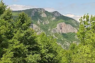 View on Kablar from the village of Dučalovići | |
| Highest point | |
| Elevation | 889 m (2,917 ft)[1] |
| Coordinates | 43°54′46″N 20°11′05″E / 43.91264833°N 20.184775°E |
| Geography | |
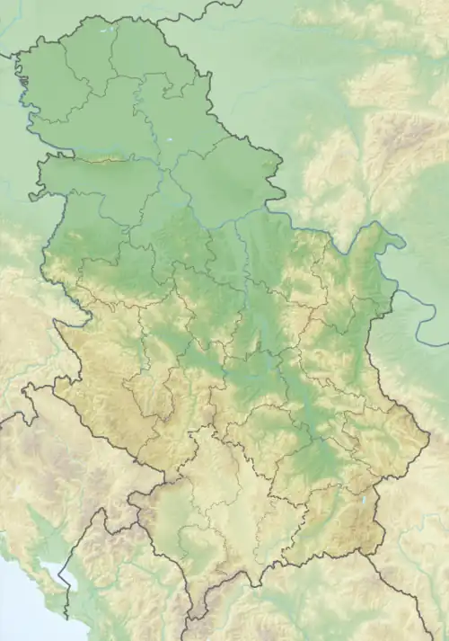 Kablar Location in Serbia | |
| Location | Western Serbia |
| Climbing | |
| Easiest route | Hike from Ovčar Banja |
Kablar (Serbian Cyrillic: Каблар, pronounced [kǎblaːr]) is a mountain in central Serbia. It has an elevation of 889 meters above sea level. It lies near the city of Čačak. With nearby Ovčar, it forms the Ovčar-Kablar Gorge of the West Morava river.
Gallery
-
 View on Ovčar from the top of Kablar
 -
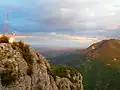 View from the top of Kablar on Čačak (in the middle, distant) and Ovčar
 -
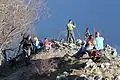 Hikers resting while on top of Kablar
See also
References
- ^ Jovan Đokić. "Katalog planina Srbije". PSD Kopaonik Beograd. Archived from the original on 2011-05-18.
External links
Wikimedia Commons has media related to Kablar (mountain).