Kadakkad
Kadakkad
Kadakkadu | |
|---|---|
Municipal Division | |
 Kadakkad Sree Bhadrakali Temple | |
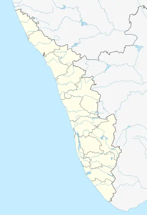 Kadakkad Location in Kerala, India  Kadakkad Kadakkad (India) | |
| Coordinates: 9°13′N 76°42′E / 9.22°N 76.70°E | |
| Country | |
| State | Kerala |
| District | Pathanamthitta |
| Government | |
| • Body | Pandalam Municipality |
| Languages | |
| • Official | Malayalam |
| Time zone | UTC+5:30 (IST) |
| Telephone code | 04734 |
| Vehicle registration | KL-26 |
| Nearest city | Pandalam |
| Lok Sabha constituency | Pathanamthitta |
| Climate | Tropical monsoon (Köppen) |
Kadakkad is a municipal division in Pandalam. Situated in the banks of Achankovil river; Kadakkad divided into two divisions, Kadakkad North and Kadakkad South.[1] Pandalam-Pathanamthitta road is the major road passing and Kadakkad-Kaipattoor road proposed to be upgraded to NH standards.[2]
Etymology
The name Kadakkad derived from Kharan (An Asura inhabited this place) and Kadu (Forest).
Places of Worship
- Kadakkad Sree Bhadrakali Temple
- Kadakkad Juma Masjid
Institutions
- Sugarcane Seed Farm, Kadakkad.[3]
- District Soil Testing Laboratory, Kadakkad.[4]
Gallery
-
 Kadakkad Sree Bhadrakali Temple
References
- ^ "Kadakkad, Pandalam". Retrieved 22 February 2017.
- ^ "Kadakkad-Kaipattoor Road proposed to be upgraded to NH standards". The Hindu. Retrieved 11 April 2017.
- ^ "Model Integrated Farming Demonstration Centre at Kadakkad". The Hindu. Pathanamthitta. Retrieved 10 January 2017.
- ^ "District Soil Testing Laboratory, Kadakkad, Pandalam, Pathanamthitta". Kerala Agriculture. Archived from the original on 25 April 2017. Retrieved 12 January 2017.