Kadifekale, İlkadım
Kadifekale | |
|---|---|
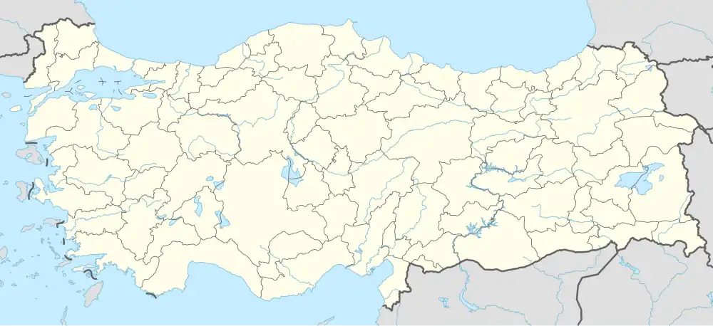 Kadifekale Location in Turkey | |
| Coordinates: 41°18′7″N 36°19′16″E / 41.30194°N 36.32111°E | |
| Country | Turkey |
| Province | Samsun |
| District | İlkadım |
| Population (2022) | 11,214 |
| Time zone | UTC+3 (TRT) |
Kadifekale is a neighbourhood of the municipality and district of İlkadım, Samsun Province, Turkey.[1] Its population is 11,214 (2022).[2] It lies between two military areas. It is separated from Baruthane by a dried river and located on a slope. The dock and Black Sea are visible from the neighbourhood.
References
- ^ Mahalle Archived 2023-03-06 at the Wayback Machine, Turkey Civil Administration Departments Inventory. Retrieved 22 May 2023.
- ^ "Address-based population registration system (ADNKS) results dated 31 December 2022, Favorite Reports" (XLS). TÜİK. Retrieved 22 May 2023.