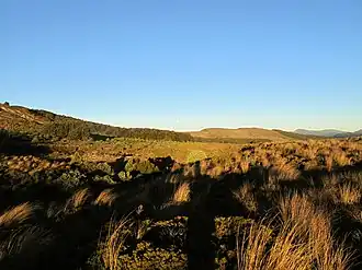
Kaimanawa Forest Park
| Kaimanawa Forest Park | |
|---|---|
 Kaimanawa Ranges | |
.png) Kaimanawa Forest Park | |
| Location | New Zealand |
| Coordinates | 39°12′35″S 175°49′52″E / 39.2096451°S 175.8312464°E |
| Area | 75,957 hectares (187,690 acres) |
| Established | 1969 |
| Governing body | Department of Conservation |
Kaimanawa Forest Park is a protected area south of Lake Taupō and east of Mount Tongariro in the Taupō Volcanic Zone. It is situated in the Rangitikei District and Manawatū-Whanganui Region of New Zealand's North Island.[1]
The park is managed by the New Zealand Department of Conservation.[1]
Geography
The park covers 75,957 hectares (187,690 acres).[2]
History
The park was established in 1969.[2]
References
- ^ a b "DOC Profile". Department of Conservation. Department of Conservation.
- ^ a b Nathan, Simon. "National and conservation parks". Te Ara - the Encyclopedia of New Zealand. Ministry for Culture and Heritage.
Further reading
- Lund, A.S. (2003) Threatened plant survey in Kaimanawa Forest Park and Tongariro National Park. DOC Science Internal Series 117.