Kamanjab Airport
Kamanjab Airport | |||||||||||||||
|---|---|---|---|---|---|---|---|---|---|---|---|---|---|---|---|
| Summary | |||||||||||||||
| Airport type | Public | ||||||||||||||
| Serves | Kamanjab | ||||||||||||||
| Elevation AMSL | 4,270 ft / 1,301 m | ||||||||||||||
| Coordinates | 19°31′15″S 14°49′25″E / 19.52083°S 14.82361°E | ||||||||||||||
| Map | |||||||||||||||
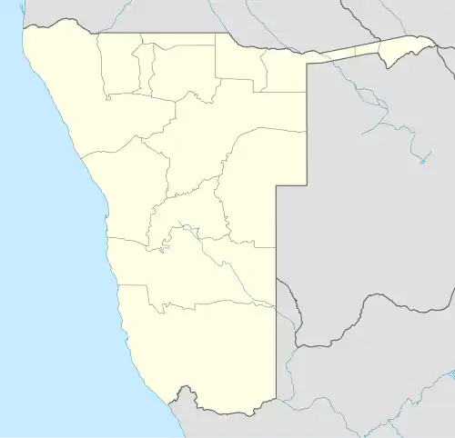 Kamanjab Location of the airport in Namibia | |||||||||||||||
| Runways | |||||||||||||||
| |||||||||||||||
Kamanjab Airport (ICAO: FYKJ) is an airport serving the village of Kamanjab in the Kunene Region of Namibia. The runways are 11 kilometres (6.8 mi) north of the settlement.
See also
References
- ^ Google Maps - Kamanjab
- ^ Airport information for FYKJ at Great Circle Mapper.
External links