Kanawha, West Virginia
Kanawha, West Virginia | |
|---|---|
 Kanawha, West Virginia  Kanawha, West Virginia | |
| Coordinates: 39°11′56″N 81°27′36″W / 39.19889°N 81.46000°W | |
| Country | United States |
| State | West Virginia |
| County | Wood |
| Elevation | 627 ft (191 m) |
| Time zone | UTC-5 (Eastern (EST)) |
| • Summer (DST) | UTC-4 (EDT) |
| Area codes | 304 & 681 |
| GNIS feature ID | 2807515[1] |
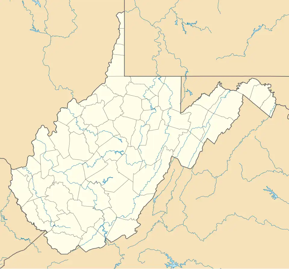
Kanawha is an unincorporated community in Wood County, West Virginia, United States. Kanawha is located on West Virginia Route 47, 7 miles (11 km) southeast of Parkersburg.[2]
References
- ^ a b U.S. Geological Survey Geographic Names Information System: Kanawha, West Virginia
- ^ Wood County, West Virginia General Highway Map (PDF) (Map). West Virginia Department of Transportation. 2011. p. 1. Archived from the original (PDF) on April 25, 2012. Retrieved October 13, 2011.
Municipalities and communities of Wood County, West Virginia, United States | ||
|---|---|---|
| Cities |  | |
| Town | ||
| CDPs | ||
| Unincorporated communities |
| |
| Ghost towns | ||