Kanni, South Australia
| Kanni South Australia | |||||||||||||||
|---|---|---|---|---|---|---|---|---|---|---|---|---|---|---|---|
 Kanni | |||||||||||||||
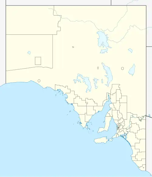
| Coordinates | 34°15′32″S 140°00′24″E / 34.258867509459606°S 140.0067134829496°E | ||||||||||||||
| Population | 36 (SAL 2021)[1] | ||||||||||||||
| Postcode(s) | 5330 | ||||||||||||||
| Elevation | 59 m (194 ft) | ||||||||||||||
| Location | 84 km (52 mi) north east of Renmark | ||||||||||||||
| LGA(s) | District Council of Loxton Waikerie | ||||||||||||||
| |||||||||||||||
Kanni is a locality in southeast South Australia located 150km northeast of Adelaide.[2]
The name of Kanni is derived from an Aboriginal native term for 'you stay here'.[3] It was once a siding on the Waikerie railway line but it was closed in 1990.[4]
References
- ^ Australian Bureau of Statistics (28 June 2022). "Kanni (suburb and locality)". Australian Census 2021 QuickStats. Retrieved 28 June 2022.
- ^ Map of Kanni, SA
- ^ Names of Railway Stations. 24 March 1915
- ^ Riverland and Mallee Railways