Kannonselkä
| Kannonselkä | |
|---|---|
 | |
 Kannonselkä | |
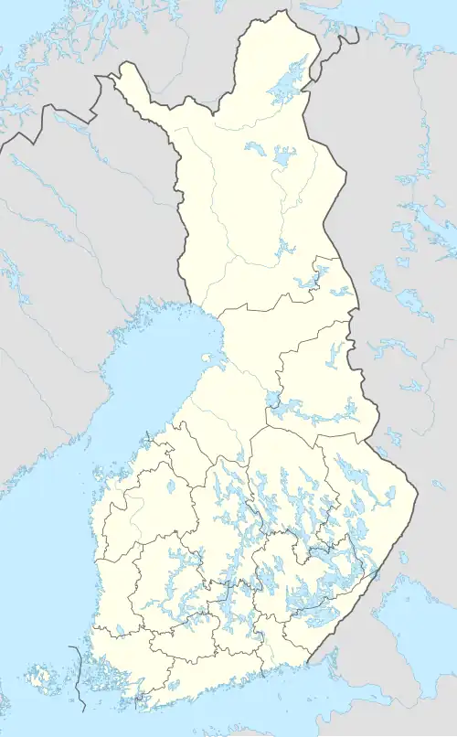
| Location | Kannonkoski |
| Coordinates | 62°54′N 25°15′E / 62.900°N 25.250°E |
| Type | Lake |
| Primary inflows | Pajusalmi |
| Primary outflows | Kannonkoski rapids |
| Catchment area | Kymijoki |
| Basin countries | Finland |
| Surface area | 11.236 km2 (4.338 sq mi) |
| Average depth | 4.74 m (15.6 ft) |
| Max. depth | 19.44 m (63.8 ft) |
| Water volume | 0.0538 km3 (43,600 acre⋅ft) |
| Shore length1 | 49.41 km (30.70 mi) |
| Surface elevation | 140.7 m (462 ft) |
| Frozen | December–April |
| Islands | Räihänsaari |
| References | [1] |
| 1 Shore length is not a well-defined measure. | |
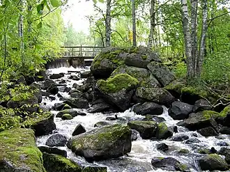
Kannonselkä (also called Kannonjärvi) is a medium-sized lake of Central Finland in the Kymijoki main catchment area. It is in the area of Kannonkoski municipality.[1] The lake is in quite natural condition and there are good possibilities for fishing.[2] There are several archaeological settlement places in Otaniemi on the lake shore.[3]
References
- ^ a b Kannonselkä in Järviwiki. Finnish Environment Institute: Lakes in Finland. Retrieved 2014-2-28. (in English)
- ^ Kalapaikka.net. Retrieved 2014-2-28. (in Finnish)
- ^ Kannonkosken muinaisjäännösinventointi lokakuussa 2004. Published by Mikroliitti. Retrieved 2014-2-28. (in Finnish)
See also